Karos, Hungary
Karos | |
|---|---|
Village | |
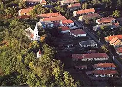 Aerial photography of Karos | |
 Flag  Coat of arms | |
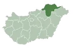
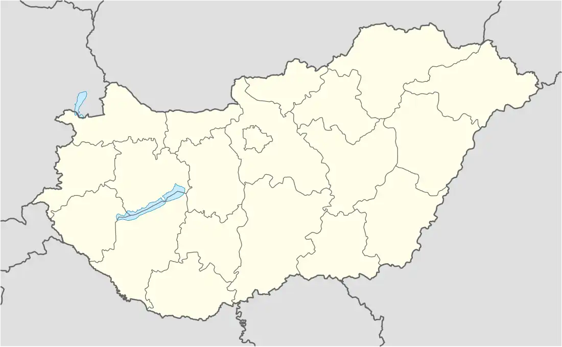 Karos Location of Karos | |
| Coordinates: 48°19′48″N 21°44′22″E / 48.32999°N 21.73936°E | |
| Country | Hungary |
| Region | Northern Hungary |
| County | Borsod-Abaúj-Zemplén |
| District | Cigánd |
| Area | |
• Total | 15.33 km2 (5.92 sq mi) |
| Population (1 January 2024)[1] | |
• Total | 517 |
| • Density | 34/km2 (87/sq mi) |
| Time zone | UTC+1 (CET) |
| • Summer (DST) | UTC+2 (CEST) |
| Postal code | 3962 |
| Area code | (+36) 47 |
Karos is a village in Borsod-Abaúj-Zemplén county, Hungary.
References
- ^ Detailed Gazetteer of Hungary. 23 September 2024 https://www.ksh.hu/apps/hntr.telepules?p_lang=EN&p_id=30508. Retrieved 23 September 2024.
{{cite web}}: Missing or empty|title=(help)
External links
- Street map Archived 2007-09-30 at the Wayback Machine (in Hungarian)