Kalterer See
| Kalterer See | |
|---|---|
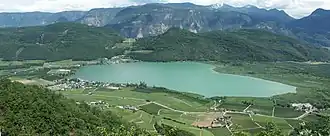 View from Altenburg (Kaltern) (Castelvecchio) | |
 Kalterer See | |
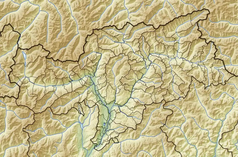
| Location | South Tyrol |
| Coordinates | 46°22′39″N 11°15′45″E / 46.37750°N 11.26250°E |
| Catchment area | 55.5 km2 (21.4 sq mi) |
| Basin countries | Italy |
| Max. length | 1.8 km (1.1 mi) |
| Max. width | 0.9 km (0.56 mi) |
| Surface area | 1.4 km2 (0.54 sq mi) |
| Average depth | 3.5 m (11 ft) |
| Max. depth | 5.6 m (18 ft) |
| Water volume | 6×10⁶ m3 (210×106 cu ft) |
| Shore length1 | 5.3 km (3.3 mi) |
| Surface elevation | 216 m (709 ft) |
| Settlements | Kaltern |
| 1 Shore length is not a well-defined measure. | |
Lake Kaltern (Italian: Lago di Caldaro; German: Kalterer See) is a lake in the municipality of Kaltern in South Tyrol, Italy.
References
- Civic Network of South Tyrol (in German and Italian)
External links
![]() Media related to Kalterer See at Wikimedia Commons
Media related to Kalterer See at Wikimedia Commons