Juárez Hidalgo
Juárez Hidalgo | |
|---|---|
Municipality and town | |
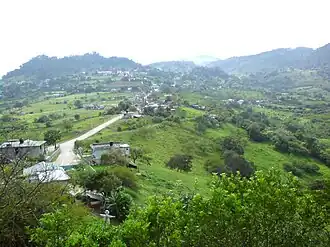 View over Juárez Hidalgo | |
 Glyph | |
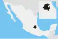
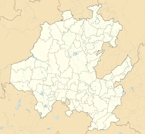 Juárez Hidalgo Location in Mexico 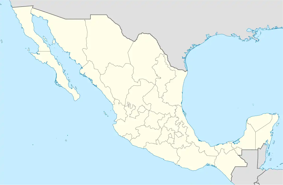 Juárez Hidalgo Juárez Hidalgo (Mexico) | |
| Coordinates: 20°46′59″N 98°49′44″W / 20.78306°N 98.82889°W | |
| Country | |
| State | Hidalgo |
| Municipal seat | Juárez Hidalgo |
| Municipality created | 1869 |
| Area | |
• Total | 161.9 km2 (62.5 sq mi) |
| Population (2005) | |
• Total | 1,820 |
| Time zone | UTC-6 (Central) |
Juárez Hidalgo is a town and one of the 84 municipalities of Hidalgo, in central-eastern Mexico. Created in 1869, its name honours both Benito Juárez and Miguel Hidalgo. The present-day municipal seat was known as Itztapanitla prior to European contact and, in colonial times, as San Guillermo.[1]
The municipality of Juárez Hidalgo covers an area of 161.9 km². In 2020, it had a total population of 2,895, down from the 2010 figure[2] but up from the 1,820 reported in the 2005 census.[3] Fewer than 1.5% of the population are indigenous language speakers, with Nahuatl the most common.[2]
References
- ^ "Juárez Hidalgo". Municipios de Hidalgo. Hidalgo state government. Archived from the original on 6 April 2017. Retrieved 26 June 2024.
- ^ a b "Juárez Hidalgo: Economy, employment, equity, quality of life, education, health and public safety". Data México. Secretaría de Economía. Retrieved 26 June 2024.
- ^ "Juárez Hidalgo". Enciclopedia de los Municipios de México. Instituto Nacional para el Federalismo y el Desarrollo Municipal. Archived from the original on January 28, 2007. Retrieved December 27, 2008.
Wikimedia Commons has media related to Juárez Hidalgo Municipality.
External links
- Enciclopedia de los municipios de Hidalgo: Juárez Hidalgo, Secretaría de Planeación, Desarrollo Regional y Metropolitano, Gobierno del Estado de Hidalgo