Jongno 5(o)-ga station
| |||||||||||||||||||||||||
|---|---|---|---|---|---|---|---|---|---|---|---|---|---|---|---|---|---|---|---|---|---|---|---|---|---|
 Station platform | |||||||||||||||||||||||||
| Korean name | |||||||||||||||||||||||||
| Hangul | 종로5가역 | ||||||||||||||||||||||||
| Hanja | |||||||||||||||||||||||||
| Revised Romanization | Jongnooga-yeok | ||||||||||||||||||||||||
| McCune–Reischauer | Chongnooga-yŏk | ||||||||||||||||||||||||
| General information | |||||||||||||||||||||||||
| Location | 124-8 Jongno 5-ga, 216 Jongno Jiha, Jongno-gu, Seoul[1] | ||||||||||||||||||||||||
| Operated by | Seoul Metro | ||||||||||||||||||||||||
| Line(s) | Line 1 | ||||||||||||||||||||||||
| Platforms | 2 | ||||||||||||||||||||||||
| Tracks | 2 | ||||||||||||||||||||||||
| Construction | |||||||||||||||||||||||||
| Structure type | Underground | ||||||||||||||||||||||||
| History | |||||||||||||||||||||||||
| Opened | August 15, 1974[1] | ||||||||||||||||||||||||
| Passengers | |||||||||||||||||||||||||
| (Daily) Based on Jan-Dec of 2012. Line 1: 53,228[2] | |||||||||||||||||||||||||
| |||||||||||||||||||||||||
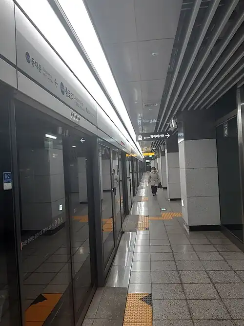
Jongno 5(o)-ga Station is a station on the Seoul Subway Line 1. It is located underneath Jongno, a major street in downtown Seoul.
Station layout
| G | Street level | Exit |
| L1 Concourse |
Lobby | Customer Service, Shops, Vending machines, ATMs |
| L2 Line 1 platforms |
Side platform, doors will open on the left | |
| Southbound | Line 1 toward Incheon, Sinchang or Seodongtan (Jongno 3(sam)-ga) → | |
| Northbound | ← Line 1 toward Soyosan, Uijeongbu or Kwangwoon University (Dongdaemun) | |
| Side platform, doors will open on the left | ||
Vicinity
- Exit 1 : Dongdaemun Police Station
- Exit 2 :
- Exit 3 : Hyoje Elementary School
- Exit 4 :
- Exit 5 :
- Exit 6 : Cheonggyecheon, Pyeonghwa Market
- Exit 7 : Cheonggyecheon
- Exit 8 : Dongdaemun Market
Wikimedia Commons has media related to Jongno 5-ga Station.
References
- ^ Monthly Number of Passengers between Subway Stations Archived 2014-10-06 at the Wayback Machine. Korea Transportation Database, 2013. Retrieved 2013-10-15.

37°34′15″N 127°00′07″E / 37.57083°N 127.00194°E