Jamul Mountains
| Jamul Mountains | |
|---|---|
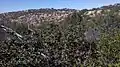
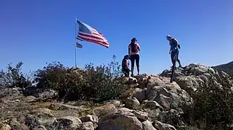 First peak on trail from Upper Otay Reservoir | |
| Highest point | |
| Elevation | 2,059 ft (628 m) |
| Prominence | 1,030 ft (310 m) |
| Isolation | 2.98 mi (4.80 km) to San Miguel Mountain |
| Geography | |
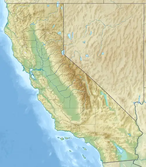 Jamul Mountains Location of Jamul Mountains in California[1] | |
| Country | United States |
| State | California |
| District | San Diego County |
| Range coordinates | 32°40′26.199″N 116°53′35.084″W / 32.67394417°N 116.89307889°W |
| Parent range | Peninsular Ranges |
| Topo map | USGS Jamul Mountains |
The Jamul Mountains are a mountain range of the Peninsular Ranges System.
They are located in southernmost San Diego County, California.[1] The Mexico–United States border is nearby to the south.
There is a trail starting at Upper Otay Lake that leads over the western part of the range.
Gallery
-
 Highest peak of western part of the range
References
- ^ a b "Jamul Mountains". Geographic Names Information System. United States Geological Survey, United States Department of the Interior. Retrieved 2009-05-04.