Vache Island, Seychelles
Nickname: Île aux Vaches Marines | |
|---|---|
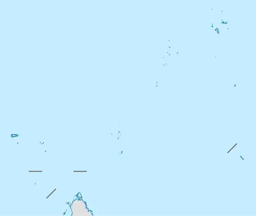 Vache Island Location of Vache Island in Seychelles | |
| Geography | |
| Location | Seychelles, Indian Ocean |
| Coordinates | 4°41′S 55°26′E / 4.683°S 55.433°E |
| Archipelago | Inner Islands, Seychelles |
| Adjacent to | Indian Ocean |
| Total islands | 1 |
| Major islands |
|
| Area | 0.047 km2 (0.018 sq mi) |
| Length | 0.2 km (0.12 mi) |
| Width | 0.25 km (0.155 mi) |
| Coastline | 0.9 km (0.56 mi) |
| Highest elevation | 54 m (177 ft) |
| Highest point | Vache |
| Administration | |
| Group | Granitic Seychelles |
| Sub-Group | Mahe Islands |
| Districts | Grand'Anse Mahé |
| Demographics | |
| Population | 0 (2014) |
| Pop. density | 0/km2 (0/sq mi) |
| Additional information | |
| Time zone | |
| ISO code | SC-13 |
| Official website | www |
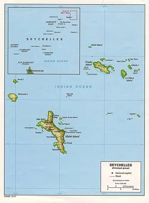
Île aux Vaches Marines is one of many islands in the Seychelles, lying in the west shores of Mahe.[1] Île aux Vaches Marines is a granite rock, only slightly covered with vegetation. The island is a popular nesting site for sea-birds. The rocks "Les Trois Dames" are not far from it but are usually hidden by heavily breaking seas.
Administration
The island belongs to Grand'Anse Mahé District.[2]
Image gallery
-
 Map 1
Map 1 -
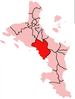 District Map
References
- ^ Coutsoukis, Photius (2010). "Vache Island: Seychelles". geographic.org. Retrieved 25 August 2017.
- ^ "District map" (PDF). Archived from the original (PDF) on 15 November 2008.
External links
- "Info on the island". Archived from the original on 13 April 2016. Retrieved 25 August 2017.
- "A short video documenting the removal of rats from the island". youtube.com. 21 Mar 2016. Retrieved 25 August 2017.