Ichstedt
Ichstedt | |
|---|---|
Location of Ichstedt | |
 Ichstedt 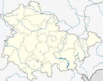 Ichstedt | |
| Coordinates: 51°23′5″N 11°12′5″E / 51.38472°N 11.20139°E | |
| Country | Germany |
| State | Thuringia |
| District | Kyffhäuserkreis |
| Town | Bad Frankenhausen |
| Area | |
• Total | 9.7 km2 (3.7 sq mi) |
| Elevation | 145 m (476 ft) |
| Population (2017-12-31) | |
• Total | 578 |
| • Density | 60/km2 (150/sq mi) |
| Time zone | UTC+01:00 (CET) |
| • Summer (DST) | UTC+02:00 (CEST) |
| Postal codes | 06556 |
| Dialling codes | 0 34 66 |
| Vehicle registration | KYF |
Ichstedt (German pronunciation: [ˈɪçʃtɛt]) is a village and a former municipality in the district Kyffhäuserkreis, in Thuringia, Germany. Since 1 January 2019, it is part of the town Bad Frankenhausen. The village was mentioned in a charter of Louis the German in 874 for the first time. The village was once a moated castle, which was located on the site of the later manor. By 1918, the town belonged to the principality of Schwarzburg-Rudolstadt.
References