Horse Shoe Curve, Virginia
Horse Shoe Curve, Virginia | |
|---|---|
Unincorporated community | |
 Horse Shoe Curve  Horse Shoe Curve | |
| Coordinates: 39°07′13″N 77°51′30″W / 39.12028°N 77.85833°W | |
| Country | United States |
| State | Virginia |
| County | Clarke |
| Elevation | 738 ft (225 m) |
| Time zone | UTC-5 (Eastern (EST)) |
| • Summer (DST) | UTC-4 (EDT) |
| Area code | 540 |
| GNIS feature ID | 1802675[1] |
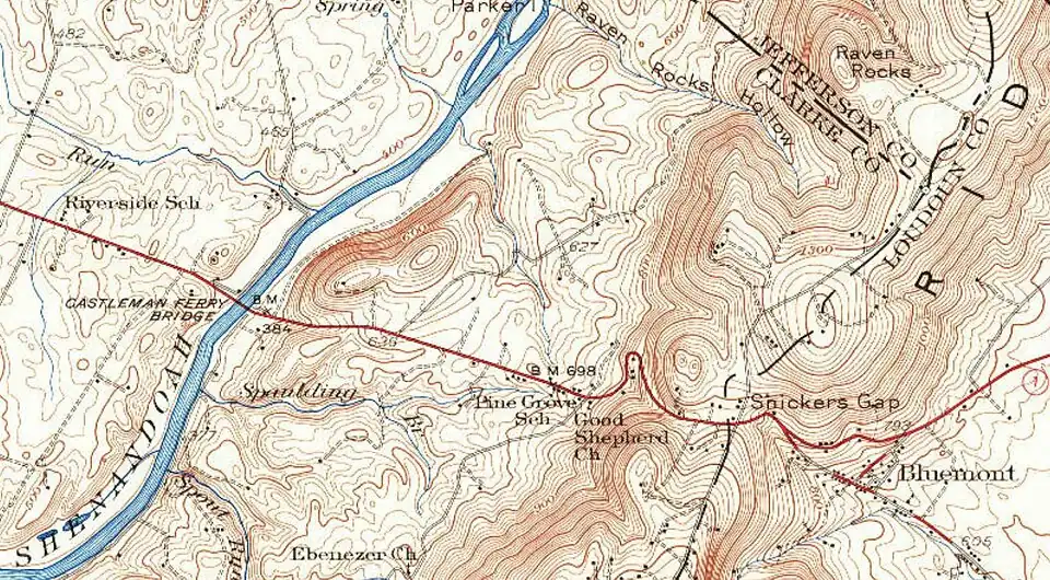
Horse Shoe Curve is an unincorporated community in Clarke County, Virginia, United States. The community is located on a horseshoe curve on Route 679 7 miles (11 km) east-southeast of Berryville and has had a tavern since the early 1900s.[1]
References
Municipalities and communities of Clarke County, Virginia, United States | ||
|---|---|---|
| Towns | 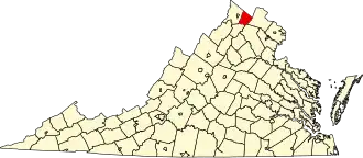 | |
| CDPs | ||
| Unincorporated communities | ||
| Footnotes | ‡This populated place also has portions in an adjacent county or counties | |