Hopeville, Iowa
Hopeville, Iowa | |
|---|---|
 Hopeville, Iowa | |
| Coordinates: 40°56′34″N 93°59′48″W / 40.94278°N 93.99667°W | |
| Country | United States |
| State | Iowa |
| County | Clarke |
| Elevation | 1,191 ft (363 m) |
| Time zone | UTC-6 (Central (CST)) |
| • Summer (DST) | UTC-5 (CDT) |
| Area code | 641 |
| GNIS feature ID | 457651[1] |
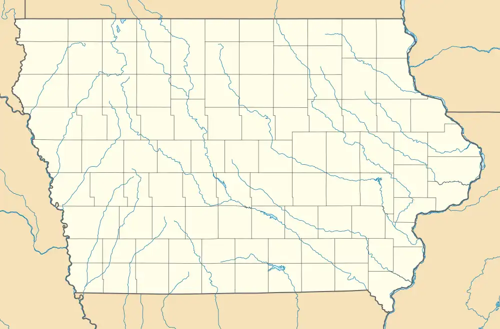
Hopeville is an unincorporated hamlet in Doyle Township, Clarke County, Iowa, United States.[1]
Geography
Hopeville is located along County Highway H45, 13.5 miles (21.7 km) west-southwest of Osceola.[2]
History
The population of Hopeville was 82 in 1940.[3]
See also
References
- ^ a b "Hopeville". Geographic Names Information System. United States Geological Survey, United States Department of the Interior.
- ^ "Clarke County, Iowa Highway and Transportation Map" (PDF). Iowa Department of Transportation. January 1, 2017. Retrieved July 17, 2018.
- ^ The Attorneys List. United States Fidelity and Guaranty Company, Attorney List Department. 1940. p. 302.
Municipalities and communities of Clarke County, Iowa, United States | ||
|---|---|---|
| Cities | 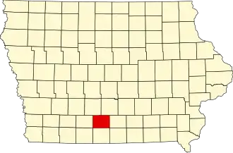 | |
| Townships | ||
| Unincorporated communities | ||