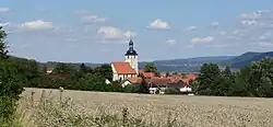
Herpf
Herpf | |
|---|---|
 | |
Location of Herpf | |
 Herpf 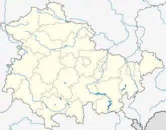 Herpf | |
| Coordinates: 50°35′N 10°20′E / 50.583°N 10.333°E | |
| Country | Germany |
| State | Thuringia |
| District | Schmalkalden-Meiningen |
| Town | Meiningen |
| Area | |
• Total | 18.08 km2 (6.98 sq mi) |
| Elevation | 320 m (1,050 ft) |
| Population (2015-12-31) | |
• Total | 913 |
| • Density | 50/km2 (130/sq mi) |
| Time zone | UTC+01:00 (CET) |
| • Summer (DST) | UTC+02:00 (CEST) |
| Postal codes | 98617 |
| Dialling codes | 036943 |
Herpf is a part (Stadtteil) of the town of Meiningen in the district Schmalkalden-Meiningen, in Thuringia, Germany. It was an independent municipality until 1 December 2010, when it was merged into Meiningen.[1]
References
Wikimedia Commons has media related to Herpf.