Henrietta, North Carolina
Henrietta, North Carolina | |
|---|---|
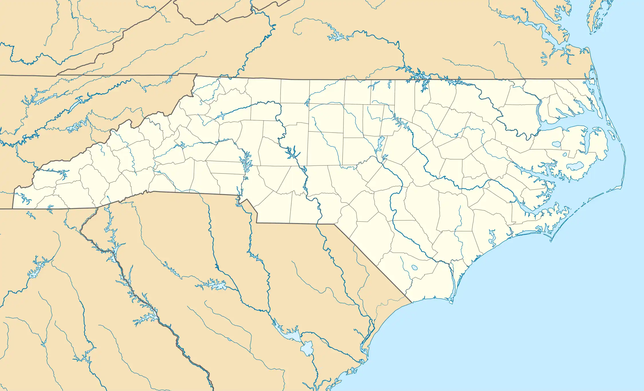 Henrietta Location in North Carolina  Henrietta Location in the United States | |
| Coordinates: 35°15′25″N 81°48′05″W / 35.25694°N 81.80139°W | |
| Country | United States |
| State | North Carolina |
| County | Rutherford |
| Area | |
• Total | 0.59 sq mi (1.52 km2) |
| • Land | 0.58 sq mi (1.51 km2) |
| • Water | 0.00 sq mi (0.01 km2) |
| Elevation | 804 ft (245 m) |
| Population (2020) | |
• Total | 395 |
| • Density | 676.37/sq mi (261.29/km2) |
| Time zone | UTC-5 (Eastern (EST)) |
| • Summer (DST) | UTC-4 (EDT) |
| ZIP code | 28076[3] |
| Area code | Area code 828 |
| FIPS code | 37-37161 |
| GNIS feature ID | 2628634[2] |
Henrietta is a census-designated place and unincorporated community in Rutherford County, North Carolina, United States. As of the 2020 census, the population was 395.[4]
Demographics
| Census | Pop. | Note | %± |
|---|---|---|---|
| 2020 | 395 | — | |
| U.S. Decennial Census[5] | |||
References
- ^ "ArcGIS REST Services Directory". United States Census Bureau. Retrieved September 20, 2022.
- ^ a b U.S. Geological Survey Geographic Names Information System: Henrietta, North Carolina
- ^ "Henrietta NC". ZIP Code Lookup. Retrieved April 1, 2011.
- ^ "Explore Census Data". data.census.gov. Retrieved October 9, 2024.
- ^ "Census of Population and Housing". Census.gov. Retrieved June 4, 2016.
Municipalities and communities of Rutherford County, North Carolina, United States | ||
|---|---|---|
| Towns | 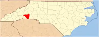 | |
| Village | ||
| CDPs | ||
| Unincorporated communities | ||