Helmsdorf, Thuringia
Helmsdorf | |
|---|---|
 Church in Helmsdorf | |
.png) Coat of arms | |
Location of Helmsdorf | |
 Helmsdorf 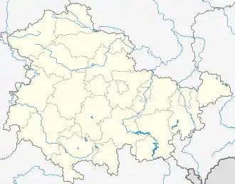 Helmsdorf | |
| Coordinates: 51°17′48″N 10°21′4″E / 51.29667°N 10.35111°E | |
| Country | Germany |
| State | Thuringia |
| District | Eichsfeld |
| Town | Dingelstädt |
| Area | |
• Total | 5.24 km2 (2.02 sq mi) |
| Elevation | 306 m (1,004 ft) |
| Population (2017-12-31) | |
• Total | 501 |
| • Density | 96/km2 (250/sq mi) |
| Time zone | UTC+01:00 (CET) |
| • Summer (DST) | UTC+02:00 (CEST) |
| Postal codes | 37351 |
| Dialling codes | 036075 |
| Vehicle registration | EIC |
Helmsdorf (German pronunciation: [ˈhɛlmsdɔʁf]) is a village and a former municipality in the district of Eichsfeld in Thuringia, Germany. Since 1 January 2019, it is part of the town Dingelstädt. It is situated on the upper course of the river Unstrut, 12 km northwest of Mühlhausen.
References