Hayton, Nottinghamshire
| Hayton | |
|---|---|
| Civil parish | |
 Church of St Peter, Hayton | |
Parish map | |
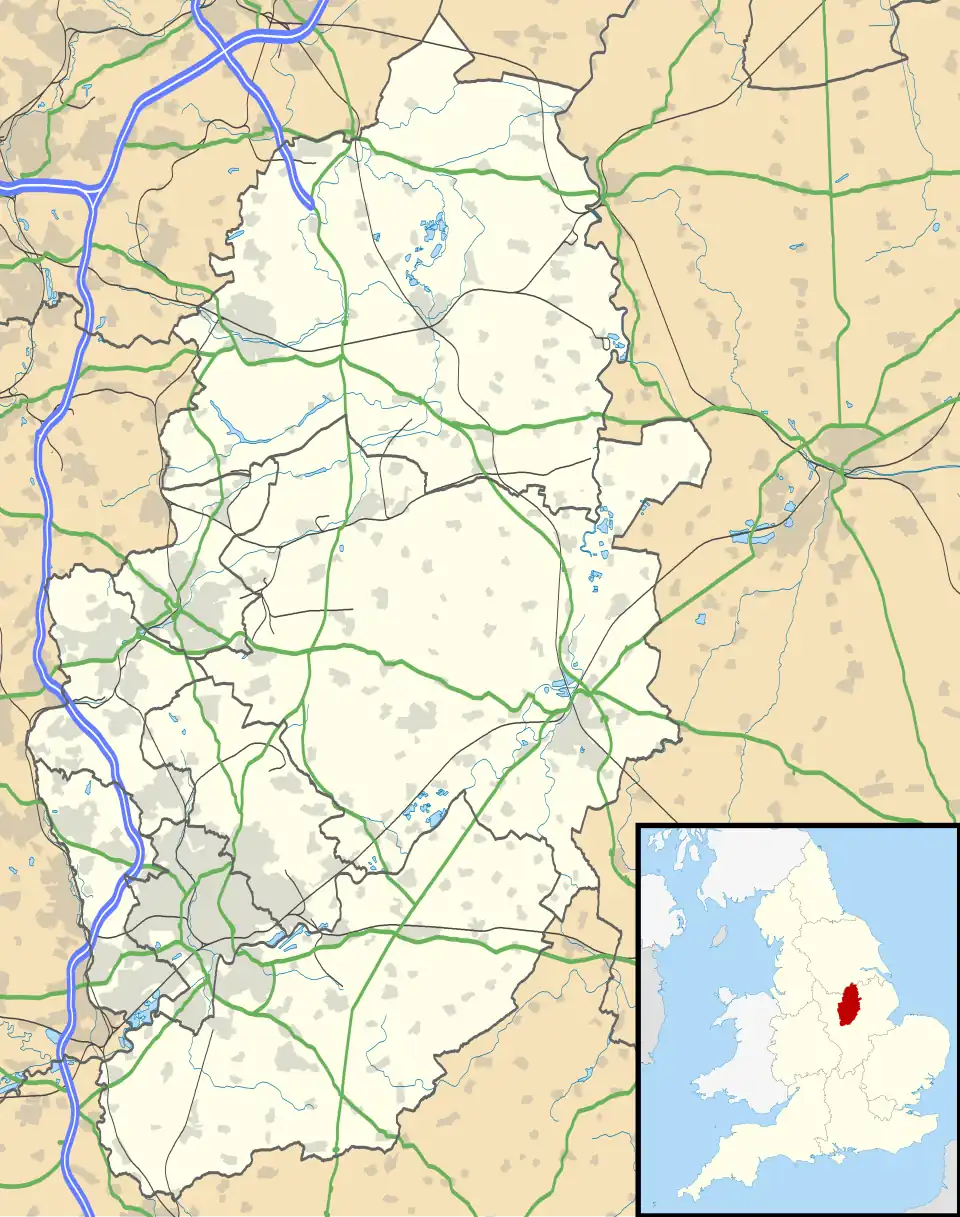 Hayton Location within Nottinghamshire | |
| Area | 4.39 sq mi (11.4 km2) |
| Population | 361 (2021) |
| • Density | 82/sq mi (32/km2) |
| OS grid reference | SK 729843 |
| • London | 130 mi (210 km) SE |
| District | |
| Shire county | |
| Region | |
| Country | England |
| Sovereign state | United Kingdom |
| Places | Hayton Tiln |
| Post town | RETFORD |
| Postcode district | DN22 |
| Dialling code | 01777 |
| Police | Nottinghamshire |
| Fire | Nottinghamshire |
| Ambulance | East Midlands |
| UK Parliament | |
| Website | www.haytonparish |
Hayton is a village in Nottinghamshire, England. It is located 4 miles north-east of Retford. According to the 2001 census it had a population (including Tiln) of 386,[1] decreasing marginally to 385 in the 2011 census,[2] but markedly more so in 2021 to 361.[3] The parish church of St Peter is Norman, with 14th century windows.[4]
See also
References
- ^ "Area: Hayton CP (Parish)"
- ^ "Civil Parish population 2011". Neighbourhood Statistics. Office for National Statistics. Retrieved 10 April 2016.
- ^ UK Census (2021). "2021 Census Area Profile – Hayton (Bassetlaw) parish (E04007814)". Nomis. Office for National Statistics. Retrieved 18 January 2024.
- ^ Pevsner, Nikolaus. 1979. The Buildings of England:Nottinghamshire. page 142. Harmondsworth, Middx. Penguin.
External links
Wikimedia Commons has media related to Hayton.