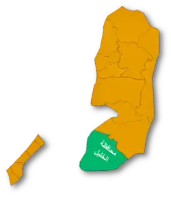
Hatta, Hebron
Hatta, Hebron
Arabic: (حتا (الخليل | |
|---|---|
| Hatta, Hebron | |
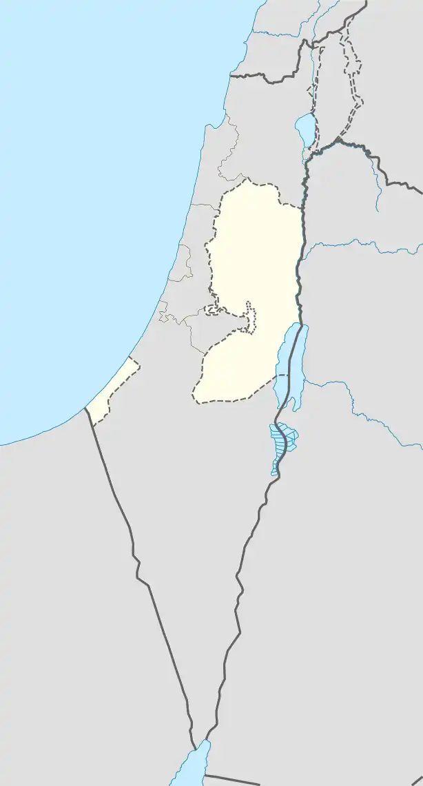 Hatta, Hebron Location of Hatta, Hebron within Palestine | |
| Coordinates: 31°37′07″N 35°01′37″E / 31.61861°N 35.02694°E | |
| Country | |
| Governorate | Hebron Governorate |
| Elevation | 405 m (1,329 ft) |
| Population (2017) | |
• Total | 1,155 |
Hatta is a Palestinian village located in the Hebron Governorate, in the southern West Bank.[1][2]
Geography
The village is located 13 km northwest of Hebron, at an elevation of 405 meters above sea level. It is bordered to the east by the town of Nuba , to the north by the town of Kharas, to the west by the Green Line, and to the south by the town of Beit Ula.[3]
Population
According to the Palestinian Central Bureau of Statistics, its population in 2017 was approximately 1,155.[4]
See also
References
External links
- Welcome To Kh. Hatta, at palestineremebered.com