Hank, Netherlands
Hank | |
|---|---|
Village | |
 View on Hank | |
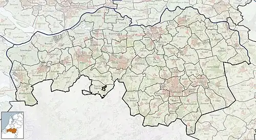 Hank Location in the province of North Brabant in the Netherlands 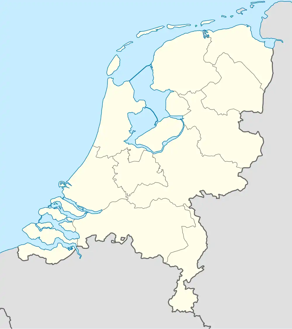 Hank Hank (Netherlands) | |
| Coordinates: 51°44′N 4°54′E / 51.733°N 4.900°E | |
| Country | Netherlands |
| Province | North Brabant |
| Municipality | Altena |
| Area | |
• Total | 24.60 km2 (9.50 sq mi) |
| Elevation | 0.4 m (1.3 ft) |
| Population (2021)[1] | |
• Total | 4,330 |
| • Density | 180/km2 (460/sq mi) |
| Time zone | UTC+1 (CET) |
| • Summer (DST) | UTC+2 (CEST) |
| Postal code | 4273[1] |
| Dialing code | 0162 |
Hank is a village in the Dutch province of North Brabant. It is a part of the municipality of Altena, and lies about 10 km (6 mi) north of Oosterhout. Hanks borders on De Biesbosch National Park.[3]
It was first mentioned in 1851 as De Hank, and means "place where fishers dry their nets".[4]
The area was poldered in 1188 and a little village called Heeraartswaarde and church were built. However the settlement was destroyed in the St. Elizabeth's flood of 1421. In 1863, a Catholic parish was founded as Mariapolder, and in 1896 a convent of the Sisters of Charity was established near the village. Hank was almost entirely destroyed in 1944 during World War II and was rebuilt after the war.[3]
Gallery
-
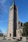 Catholic church
 -
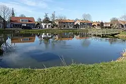
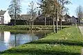 Pond in Hank
 -
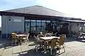 Cafeteria near the marina
 -
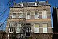 House in Hank
References
- ^ a b c "Kerncijfers wijken en buurten 2021". Central Bureau of Statistics. Retrieved 14 April 2022.
- ^ "Postcodetool for 4273BC". Actueel Hoogtebestand Nederland (in Dutch). Het Waterschapshuis. Archived from the original on 25 December 2018. Retrieved 14 April 2022.
- ^ a b "Hank". Plaatsengids (in Dutch). Retrieved 14 April 2022.
- ^ "Hank - (geografische naam)". Etymologiebank (in Dutch). Retrieved 14 April 2022.
Wikimedia Commons has media related to Hank (North Brabant).