Grizzly Flats, California
Grizzly Flats | |
|---|---|
 Location of Grizzly Flats in El Dorado County, California. | |
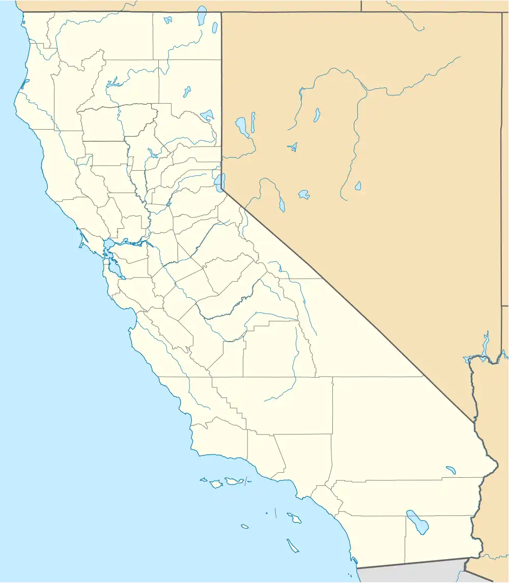 Grizzly Flats Location in California | |
| Coordinates: 38°38′11″N 120°31′39″W / 38.63639°N 120.52750°W | |
| Country | |
| State | |
| County | El Dorado |
| Area | |
• Total | 6.629 sq mi (17.169 km2) |
| • Land | 6.629 sq mi (17.169 km2) |
| • Water | 0 sq mi (0 km2) 0% |
| Elevation | 3,868 ft (1,179 m) |
| Population | |
• Total | 1,093 |
| • Density | 160/sq mi (64/km2) |
| • Summer (DST) | UTC-7 (PDT) |
| ZIP code | 95636 |
| Area code | 530 |
| GNIS feature IDs | 2628736[2] |
Grizzly Flats (formerly Grizzly Flat and Chickenmasee)[4] is a census-designated place in El Dorado County, California.[2] It is located southeast of Camino,[4] at an elevation of 3868 feet (1179 m).[2] Grizzly Flats is the town nearest to Baltic Peak, a small peak to the northwest. The population at the 2020 census was 1,093.
History
Grizzly Flats originated as a gold mining camp in the 1850s. The name was given by prospectors who were surprised by a grizzly bear there in 1850.[4] In 1852 it was described as being on a flat piece of land measuring approximately one mile by three quarters of a mile and having two combination bars, stores, and boarding houses, with more under construction. It was located centrally in a jurisdiction called Mountain Township.[5] A post office opened in 1854, a stagecoach route to Diamond Springs in 1855, and a Wells Fargo office in 1857.[6] Catholic and Methodist churches were also established in the mid-1850s.[7]
Fires in 1866 and 1869 destroyed most of the settlement; the 1869 fire killed one person and destroyed all but two buildings in the business district, which was only partly rebuilt.[8]
On August 17, 2021, the Caldor Fire destroyed around 500 buildings in and near Grizzly Flats, including the original 1850s post office, the modern post office, and Walt Tyler Elementary School.[9][10][11] Two people from the area with serious injuries caused by the fire were airlifted to hospitals.[11] The mandatory evacuation order was lifted on September 6.[12]
Demographics
| Census | Pop. | Note | %± |
|---|---|---|---|
| 2010 | 1,066 | — | |
| 2020 | 1,093 | 2.5% | |
| U.S. Decennial Census[13] 2010[14] | |||
Grizzley Flats first appeared as a census designated place in the 2010 U.S. Census.[14]
The 2020 United States census reported that Grizzly Flats had a population of 1,093. The population density was 164.9 inhabitants per square mile (63.7/km2). The racial makeup of Grizzly Flats was 897 (82.1%) White, 7 (0.6%) African American, 19 (1.7%) Native American, 14 (1.3%) Asian, 0 (0.0%) Pacific Islander, 29 (2.7%) from other races, and 127 (11.6%) from two or more races. Hispanic or Latino of any race were 99 persons (9.1%).[15]
The whole population lived in households. There were 465 households, out of which 94 (20.2%) had children under the age of 18 living in them, 269 (57.8%) were married-couple households, 39 (8.4%) were cohabiting couple households, 48 (10.3%) had a female householder with no partner present, and 109 (23.4%) had a male householder with no partner present. 104 households (22.4%) were one person, and 59 (12.7%) were one person aged 65 or older. The average household size was 2.35.[15] There were 316 families (68.0% of all households).[16]
The age distribution was 200 people (18.3%) under the age of 18, 51 people (4.7%) aged 18 to 24, 240 people (22.0%) aged 25 to 44, 328 people (30.0%) aged 45 to 64, and 274 people (25.1%) who were 65 years of age or older. The median age was 51.1 years. For every 100 females, there were 112.2 males.[15]
There were 654 housing units at an average density of 98.7 units per square mile (38.1 units/km2), of which 465 (71.1%) were occupied. Of these, 402 (86.5%) were owner-occupied, and 63 (13.5%) were occupied by renters.[15]
Climate
The Köppen Climate Classification subtype for this climate is "Csb" (Mediterranean Climate).[17]
| Climate data for Grizzly Flats | |||||||||||||
|---|---|---|---|---|---|---|---|---|---|---|---|---|---|
| Month | Jan | Feb | Mar | Apr | May | Jun | Jul | Aug | Sep | Oct | Nov | Dec | Year |
| Mean daily maximum °F (°C) | 51.1 (10.6) |
52.5 (11.4) |
57.2 (14.0) |
62.6 (17.0) |
71.3 (21.8) |
81.0 (27.2) |
89.6 (32.0) |
90.0 (32.2) |
83.7 (28.7) |
71.7 (22.1) |
57.1 (13.9) |
50.2 (10.1) |
68.2 (20.1) |
| Daily mean °F (°C) | 42.2 (5.7) |
43.1 (6.2) |
46.3 (7.9) |
49.9 (9.9) |
57.4 (14.1) |
65.8 (18.8) |
72.9 (22.7) |
72.6 (22.6) |
67.6 (19.8) |
58.4 (14.7) |
46.9 (8.3) |
41.3 (5.2) |
55.4 (13.0) |
| Mean daily minimum °F (°C) | 33.4 (0.8) |
33.7 (0.9) |
35.3 (1.8) |
37.2 (2.9) |
43.4 (6.3) |
50.5 (10.3) |
56.2 (13.4) |
55.3 (12.9) |
51.5 (10.8) |
45.1 (7.3) |
36.7 (2.6) |
32.4 (0.2) |
42.6 (5.9) |
| Average precipitation inches (mm) | 9.01 (229) |
8.02 (204) |
7.36 (187) |
4.36 (111) |
3.12 (79) |
0.79 (20) |
0.07 (1.8) |
0.08 (2.0) |
0.71 (18) |
2.83 (72) |
5.92 (150) |
8.17 (208) |
50.42 (1,281) |
| Source: PRISM Climate Group[18] | |||||||||||||
References
- ^ "2020 U.S. Gazetteer Files". United States Census Bureau. Retrieved June 22, 2025.
- ^ a b c d U.S. Geological Survey Geographic Names Information System: Grizzly Flats, California
- ^ "US Census Bureau". www.census.gov. Retrieved August 10, 2024.
- ^ a b c Durham, David L. (1998). California's Geographic Names: A Gazetteer of Historic and Modern Names of the State. Clovis, California: Word Dancer Press. p. 495. ISBN 1-884995-14-4.
- ^ Algier, Keith W. (1992). Grizzly Flat - The First Fifty Years. Richmond, Kentucky: A & K. pp. 2–3. OCLC 28253508.
- ^ Algier, p. 10.
- ^ Algier, p. 9.
- ^ Sioli, Paolo (1998) [1883]. Historical Souvenir of El Dorado County, California. Georgetown, California: Cedar Ridge. pp. 195–96. ISBN 0-9658763-2-2.
- ^ Johnson, Julie (September 26, 2021). "The Caldor Fire destroyed nearly two-thirds of Grizzly Flats. Burned-out residents are determined to reclaim their town". San Francisco Chronicle.
- ^ "Grizzly Flats: the California town leveled by the Caldor fire – in pictures". The Guardian (photo gallery, Ethan Swope, AP). August 18, 2021.
- ^ a b "Fueled by winds, largest wildfire moves near California city". The Associated Press. August 17, 2021. Retrieved August 18, 2021.
- ^ "Caldor Fire: More evacuation orders downgraded to warnings". KCRA. September 16, 2021.
- ^ "Decennial Census by Decade". United States Census Bureau.
- ^ a b "2010 Census of Population - Population and Housing Unit Counts - California" (PDF). United States Census Bureau.
- ^ a b c d "Grizzly Flats CDP, California; DP1: Profile of General Population and Housing Characteristics - 2020 Census of Population and Housing". US Census Bureau. Retrieved May 21, 2025.
- ^ "Grizzly Flats CDP, California; P16: Household Type - 2020 Census of Population and Housing". US Census Bureau. Retrieved May 21, 2025.
- ^ Climate Summary for Grizzly Flats
- ^ "PRISM Climate Group". Oregon State University. Retrieved April 22, 2020. Input coordinates: 38.6397 N, 120.5256 W.
External links
Municipalities and communities of El Dorado County, California, United States | ||
|---|---|---|
| Cities |  | |
| CDPs | ||
| Unincorporated communities |
| |
| Former settlements | ||
| Footnotes | ‡This CDP also has portions in an adjacent county or counties | |