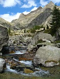
Gordolasque
| Gordolasque | |
|---|---|
 | |
  | |
| Location | |
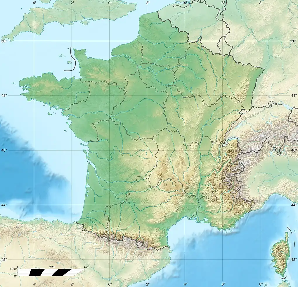
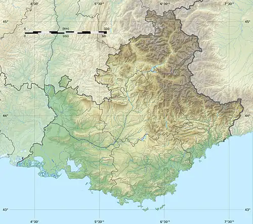
| Country | France |
| Physical characteristics | |
| Source | |
| • location | Maritime Alps |
| Mouth | |
• location | Vésubie |
• coordinates | 44°0′5″N 7°18′36″E / 44.00139°N 7.31000°E |
| Length | 19 km (12 mi) |
| Basin features | |
| Progression | Vésubie→ Var→ Mediterranean Sea |
The Gordolasque is a mountain river that flows from the Mercantour National Park in the Alpes-Maritimes department of southeastern France. It is 18.8 km (11.7 mi) long.[1] Its source is in the Maritime Alps, near the Italian border. It flows into the river Vésubie below the perched village of Belvédère.
References
External links
- http://www.lagordolasque.com La Gordolasque | Photographs Mountain | Alpes-Maritimes France