Lake El Golfete
| Lake El Golfete | |
|---|---|
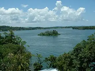 View of the western side of the Golfete Dulce | |
 Lake El Golfete | |
| Coordinates | 15°43′41″N 88°52′51″W / 15.7281°N 88.8807°W |
| Primary inflows | Río Dulce |
| Primary outflows | Río Dulce |
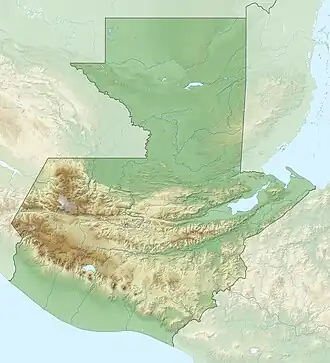
| Basin countries | Guatemala |
| Surface area | 62 km2 (24 sq mi)[1] |
| Surface elevation | 0 m (0 ft) |
| References | [1] |
Lake El Golfete is a long narrow lake in Guatemala. It lies at sea level and is fed by the Dulce River from Lake Izabal draining to the Amatique Bay in the Caribbean Sea.
References
- ^ a b INSIVUMEH. "Indice de lagos". Retrieved 13 July 2008.