Glenlogan, Queensland
| Glenlogan Logan City, Queensland | |||||||||||||||
|---|---|---|---|---|---|---|---|---|---|---|---|---|---|---|---|
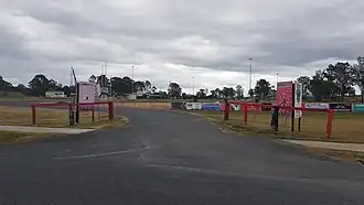 Glenlogan Park, 2023 | |||||||||||||||
 Glenlogan | |||||||||||||||
| Coordinates | 27°50′03″S 153°00′09″E / 27.8341°S 153.0025°E | ||||||||||||||
| Population | 1,122 (2021 census)[1] | ||||||||||||||
| • Density | 167.5/km2 (434/sq mi) | ||||||||||||||
| Established | 2017 | ||||||||||||||
| Postcode(s) | 4280[2] | ||||||||||||||
| Area | 6.7 km2 (2.6 sq mi) | ||||||||||||||
| Time zone | AEST (UTC+10:00) | ||||||||||||||
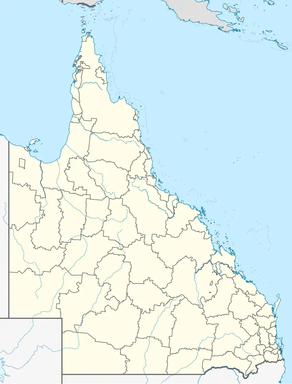
| Location |
| ||||||||||||||
| LGA(s) | Logan City | ||||||||||||||
| State electorate(s) | Jordan | ||||||||||||||
| Federal division(s) | Wright | ||||||||||||||
| |||||||||||||||
Glenlogan is a rural locality in the City of Logan, Queensland, Australia.[3] It is part of the suburban development corridor south of Brisbane in the Greater Flagstone development area. In the 2021 census, Glenlogan had a population of 1,122 people.[1]
Geography
The Logan River forms the western and north-western boundaries. The Sydney–Brisbane rail corridor follows the south-eastern boundary.[4]
Mount Lindesay Highway passes to the east.
History
Glenlogan is situated in the Bundjalung traditional Indigenous Australian country.[5][6]
The locality takes its name from the former Glenlogan Park thoroughbred stud farm on Lance Road.[3] Glenlogan was designated a locality within the Logan City by the Department of Natural Resources and Mines in September 2017.[7] It was excised from land formerly in Jimboomba.[3]
Demographics
In the 2021 census, Glenlogan had a population of 1,122 people.[1]
Education
There are no schools in Glenlogan. The nearest government primary schools are in neighbouring Jimboomba, Flagstone and Woodhill. The nearest government secondary school is in Flagstone.[8]
References
- ^ a b c Australian Bureau of Statistics (28 June 2022). "Glenlogan (SAL)". 2021 Census QuickStats. Retrieved 28 February 2023.
- ^ "Glenlogan Postcode". Retrieved 16 November 2019.
- ^ a b c "Glenlogan – locality in City of Logan (entry 50116)". Queensland Place Names. Queensland Government. Retrieved 16 November 2019.
- ^ "Glenlogan, Queensland" (Map). Google Maps. Retrieved 15 September 2021.
- ^ "Bundjalung – Muurrbay Aboriginal Language and Culture Co-operative". muurrbay.org.au. Retrieved 19 December 2020.
- ^ "AIATSIS code E66: Yugarabul". Federal government. Australian Institute of Aboriginal and Torres Strait Islander Studies. Retrieved 31 July 2020.
- ^ "Glenlogan". Logan City Council. Retrieved 16 November 2019.
- ^ "Queensland Globe". State of Queensland. Retrieved 14 November 2019.