Ganstead
| Ganstead | |
|---|---|
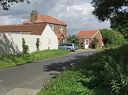 Swine Lane, Ganstead West | |
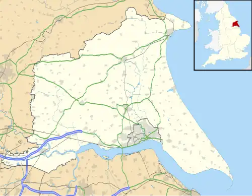 Ganstead Location within the East Riding of Yorkshire | |
| OS grid reference | TA148341 |
| • London | 160 mi (260 km) S |
| Civil parish | |
| Unitary authority | |
| Ceremonial county | |
| Region | |
| Country | England |
| Sovereign state | United Kingdom |
| Post town | HULL |
| Postcode district | HU11 |
| Dialling code | 01482 |
| Police | Humberside |
| Fire | Humberside |
| Ambulance | Yorkshire |
| UK Parliament | |
Ganstead is a village in the civil parish of Bilton, in the East Riding of Yorkshire, England, in an area known as Holderness. It is situated approximately 5 miles (8 km) north-east of Kingston upon Hull city centre. It is divided into Ganstead East and Ganstead West by the A165 road which passes through the village.
Ganstead was formerly a township in the parish of Swine,[1] in 1866 Ganstead became a civil parish, on 1 April 1935 the parish was abolished and merged with Bilton.[2] In 1931 the parish had a population of 105.[3]
In 1823 Ganstead was in the parish of Swine and in the Wapentake and Liberty of Holderness. Population at the time was 61 and included four farmers and a corn miller.[4]
References
- ^ "History of Ganstead, in East Riding of Yorkshire and East Riding". A Vision of Britain through Time. Retrieved 24 November 2023.
- ^ "Relationships and changes Ganstead CP/Tn through time". A Vision of Britain through Time. Retrieved 24 November 2023.
- ^ "Population statistics Ganstead CP/Tn through time". A Vision of Britain through Time. Retrieved 24 November 2023.
- ^ Baines, Edward (1823): History, Directory and Gazetteer of the County of York, p. 209
- Gazetteer – A–Z of Towns Villages and Hamlets. East Riding of Yorkshire Council. 2006. p. 6.
External links
 Media related to Ganstead at Wikimedia Commons
- Ganstead in the Domesday Book
| Statutory City Region | |
|---|---|
| Unitary authorities | |
| Major settlements (cities in italics) | |
| Rivers | |
| Canals | |
| Topics | |