Franklin Mountains (New Zealand)
| Franklin Mountains | |
|---|---|
| Te Ahi-a-Mahuika | |
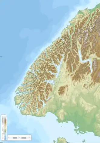 Franklin Mountains Location in Fiordland, New Zealand | |
| Highest point | |
| Peak | Mount Kane |
| Elevation | 1,714 m (5,623 ft) |
| Coordinates | 44°57′11″S 167°44′17″E / 44.953°S 167.738°E |
| Naming | |
| Etymology | Named by James McKerrow in honour of John Franklin |
| Geography | |
| Location | Southwestern South Island |
| Country | New Zealand |
| Range coordinates | 44°54′58″S 167°43′01″E / 44.916°S 167.717°E |
| Geology | |
| Orogeny | Tectonic uplift |
The Franklin Mountains of New Zealand are a group of peaks in the southwestern area of the South Island, located between Bligh Sound and Lake Te Anau, within Fiordland National Park.[1][2][3]
References
- ^ "Franklin Mountains". NZ Topo Map. Retrieved 29 January 2021.
- ^ Grant, David (25 May 2015). "Fiordland's lakes". teara.govt.nz. Retrieved 29 January 2021.
- ^ Bradshaw, J. Y. (July 1990). "Geology of crystalline rocks of northern Fiordland: Details of the granulite facies Western Fiordland Orthogneiss and associated rock units". New Zealand Journal of Geology and Geophysics. 33 (3): 465–484. doi:10.1080/00288306.1990.10425702. ISSN 0028-8306.