Floodway, Arkansas
Floodway, Arkansas | |
|---|---|
 Floodway  Floodway | |
| Coordinates: 35°46′43″N 90°10′41″W / 35.77861°N 90.17806°W | |
| Country | United States |
| State | Arkansas |
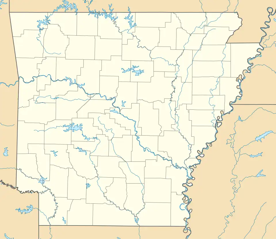
| County | Mississippi |
| Elevation | 236 ft (72 m) |
| Time zone | UTC-6 (Central (CST)) |
| • Summer (DST) | UTC-5 (CDT) |
| Area code | 870 |
| GNIS feature ID | 61865[1] |
Floodway is an unincorporated community in Mississippi County, Arkansas, United States. Floodway is located at the junction of Arkansas highways 77 and 158, 7 miles (11 km) south of Manila.[2]
References
- ^ U.S. Geological Survey Geographic Names Information System: Floodway, Arkansas
- ^ Mississippi County, Arkansas General Highway Map (PDF) (Map). Arkansas State Highway and Transportation Department. 2010. Archived from the original (PDF) on January 15, 2021. Retrieved October 13, 2011.
Municipalities and communities of Mississippi County, Arkansas, United States | ||
|---|---|---|
| Cities | 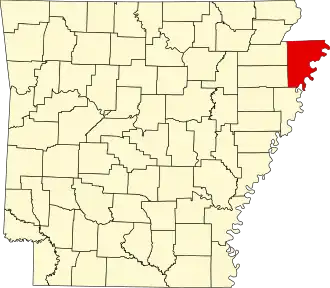 | |
| Towns | ||
| CDP | ||
| Unincorporated communities | ||
| Footnotes | ‡This populated place also has portions in an adjacent county or counties | |