Flarchheim
Flarchheim | |
|---|---|
 Flarchheim seen from the southeast | |
Location of Flarchheim | |
 Flarchheim 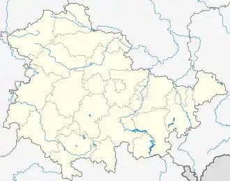 Flarchheim | |
| Coordinates: 51°7′N 10°28′E / 51.117°N 10.467°E | |
| Country | Germany |
| State | Thuringia |
| District | Unstrut-Hainich-Kreis |
| Municipality | Unstrut-Hainich |
| Area | |
• Total | 11.87 km2 (4.58 sq mi) |
| Elevation | 216 m (709 ft) |
| Population (2017-12-31) | |
• Total | 417 |
| • Density | 35/km2 (91/sq mi) |
| Time zone | UTC+01:00 (CET) |
| • Summer (DST) | UTC+02:00 (CEST) |
| Postal codes | 99986 |
| Dialling codes | 036028 |
| Website | www.flarchheim.de |
Flarchheim is a village and a former municipality in the Unstrut-Hainich-Kreis district of Thuringia, Germany. Since 1 January 2019, it is part of the municipality Unstrut-Hainich.
Flarchheim was the site of the Battle of Flarchheim on January 27, 1080, one of the very few times the Holy Roman Empire attempted to wage a midwinter military campaign in northern Europe.
References