Fifth Ward, Louisiana
Fifth Ward, Louisiana | |
|---|---|
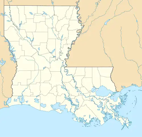 Fifth Ward Location within the state of Louisiana | |
| Coordinates: 31°07′35″N 92°09′42″W / 31.12639°N 92.16167°W[1] | |
| Country | United States |
| State | Louisiana |
| Parishes | Avoyelles |
| Area | |
• Total | 5.20 sq mi (13.47 km2) |
| • Land | 5.20 sq mi (13.47 km2) |
| • Water | 0.00 sq mi (0.00 km2) |
| Elevation | 75 ft (23 m) |
| Population (2020) | |
• Total | 921 |
| • Density | 177.12/sq mi (68.38/km2) |
| Time zone | UTC-6 (Central (CST)) |
| • Summer (DST) | UTC-5 (CST) |
| ZIP code | 71351 |
| FIPS code | 22-25545 |
| GNIS feature ID | 2586678[1] |
Fifth Ward is an unincorporated community and census-designated place in Avoyelles Parish, Louisiana, United States. As of the 2010 census, it had a population of 800.[3]
Fifth Ward is located along Louisiana Highway 1, 7 miles (11 km) west of Marksville, the parish seat, and 23 miles (37 km) southeast of Alexandria.
Demographics
| Census | Pop. | Note | %± |
|---|---|---|---|
| 2020 | 921 | — | |
| U.S. Decennial Census[4] | |||
Education
Local public schools are managed by the Avoyelles Parish School Board.[5]
References
- ^ a b c U.S. Geological Survey Geographic Names Information System: Fifth Ward, Louisiana
- ^ "2020 U.S. Gazetteer Files". United States Census Bureau. Retrieved March 20, 2022.
- ^ "Geographic Identifiers: 2010 Demographic Profile Data (G001): Fifth Ward CDP, Louisiana". U.S. Census Bureau, American Factfinder. Archived from the original on February 12, 2020. Retrieved May 21, 2013.
- ^ "Census of Population and Housing". Census.gov. Retrieved June 4, 2016.
- ^ "AVOYELLES PARISH SCHOOL BOARD Policy Manual". Avoyelles Parish School Board. Retrieved May 18, 2024.
Municipalities and communities of Avoyelles Parish, Louisiana, United States | ||
|---|---|---|
| Cities | 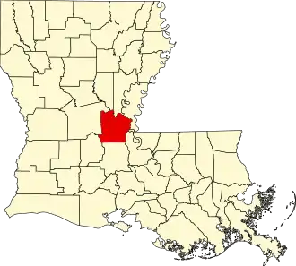 | |
| Towns | ||
| Villages | ||
| CDPs | ||
| Other communities | ||
| Indian reservation | ||