Festubert Mountain
| Festubert Mountain | |
|---|---|
 Festubert Mountain Location in Alberta  Festubert Mountain Location in British Columbia 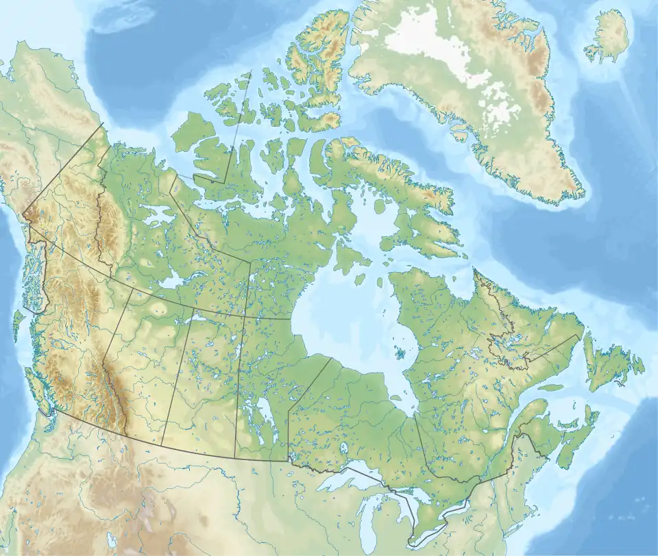 Festubert Mountain Location in Canada | |
| Highest point | |
| Elevation | 2,520 m (8,270 ft)[1] |
| Prominence | 295 m (968 ft) |
| Coordinates | 49°05′00″N 114°07′57″W / 49.08333°N 114.13250°W |
| Geography | |
| Location | Alberta-British Columbia |
| Topo map | NTS 82G1 Sage Creek |
Festubert Mountain is located on the border of Alberta and British Columbia on the Continental Divide. It was named after Festubert, a village in France.[1][2]
See also
- List of peaks on the Alberta–British Columbia border
- Mountains of Alberta
- Mountains of British Columbia
References
- ^ a b "2010-02-19". cdnrockiesdatabases.ca.
- ^ "Festubert Mountain". Bivouac.com. Retrieved 2010-02-19.