Farah, Mathura
Farah
Pharah | |
|---|---|
Town | |
 Farah Devi Mata | |
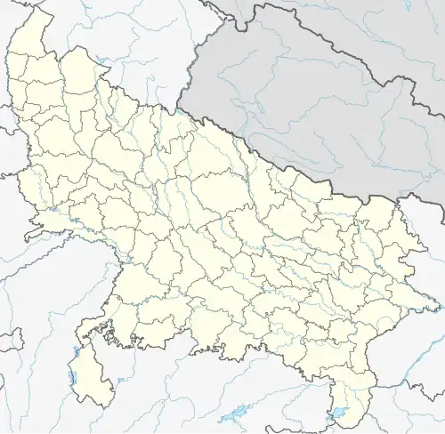 Farah Location in Uttar Pradesh, India 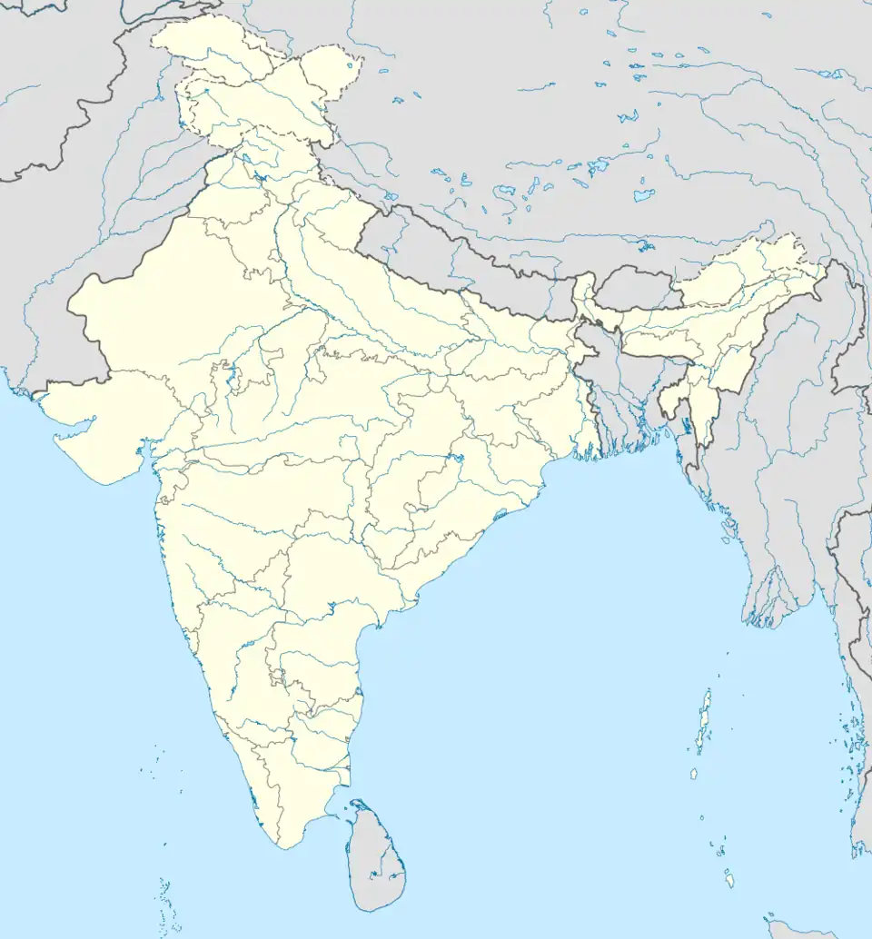 Farah Farah (India) | |
| Coordinates: 27°20′N 77°46′E / 27.33°N 77.77°E | |
| Country | |
| State | Uttar Pradesh |
| District | Mathura |
| Elevation | 172 m (564 ft) |
| Population (2001) | |
• Total | 8,199 |
| Languages | |
| • Official | Hindi |
| Time zone | UTC+5:30 (IST) |
| Website | www.npfarah.in |
Farah is a town and a nagar panchayat in Mathura district in the state of Uttar Pradesh, India.
Education
- Sachdeva Institute of Technology
- Hindustan College of Science and Technology
Demographics
As of the 2001 Census of India,[1] Farah had a population of 8,199. Males constitute 54% of the population and females 46%. Farah has an average literacy rate of 52%, lower than the national average of 59.5%: male literacy is 61%, and female literacy is 41%. In Farah, 20% of the population is under 6 years of age.
Climate
Farah features a semiarid climate that borders on a humid subtropical climate. The town features mild winters, hot and dry summers and a monsoon season. However the monsoons, though substantial in Farah, are not quite as heavy as the monsoon in other parts of India. This is a primary factor in Farah featuring a semiarid climate as opposed to a humid subtropical climate.
| Climate data for Farah, India | |||||||||||||
|---|---|---|---|---|---|---|---|---|---|---|---|---|---|
| Month | Jan | Feb | Mar | Apr | May | Jun | Jul | Aug | Sep | Oct | Nov | Dec | Year |
| Mean daily maximum °C (°F) | 22.3 (72.1) |
25.5 (77.9) |
31.9 (89.4) |
37.9 (100.2) |
41.7 (107.1) |
40.7 (105.3) |
35.3 (95.5) |
33.2 (91.8) |
34.0 (93.2) |
34.0 (93.2) |
29.2 (84.6) |
23.9 (75.0) |
32.5 (90.4) |
| Mean daily minimum °C (°F) | 7.7 (45.9) |
10.3 (50.5) |
15.4 (59.7) |
21.5 (70.7) |
26.5 (79.7) |
28.9 (84.0) |
26.8 (80.2) |
25.7 (78.3) |
24.3 (75.7) |
19.1 (66.4) |
12.5 (54.5) |
8.2 (46.8) |
18.9 (66.0) |
| Average rainfall mm (inches) | 13.3 (0.52) |
17.7 (0.70) |
9.1 (0.36) |
6.7 (0.26) |
11.9 (0.47) |
55.7 (2.19) |
203.3 (8.00) |
241.1 (9.49) |
128.5 (5.06) |
25.2 (0.99) |
4.3 (0.17) |
6.0 (0.24) |
722.8 (28.45) |
| Average rainy days | 1.9 | 1.7 | 1.7 | 1.3 | 2.3 | 4.7 | 13.8 | 14.9 | 7.7 | 1.5 | 0.8 | 1.0 | 53.3 |
| Source: World Meteorological Organization.[2] | |||||||||||||
Geography
Farah is located at 27°20′N 77°46′E / 27.33°N 77.77°E.[3] It has an average elevation of 172 metres (564 feet).
References
- ^ "Census of India 2001: Data from the 2001 Census, including cities, villages and towns (Provisional)". Census Commission of India. Archived from the original on 16 June 2004. Retrieved 1 November 2008.
- ^ World Weather Information Service-Farah, World Meteorological Organization. Retrieved 30 September 2012.
- ^ Falling Rain Genomics, Inc – Farah