Esther, Alberta
Esther | |
|---|---|
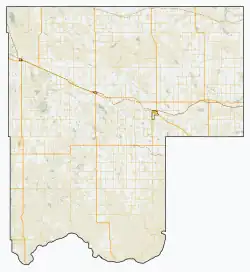 Location of Esther in Special Area No. 3 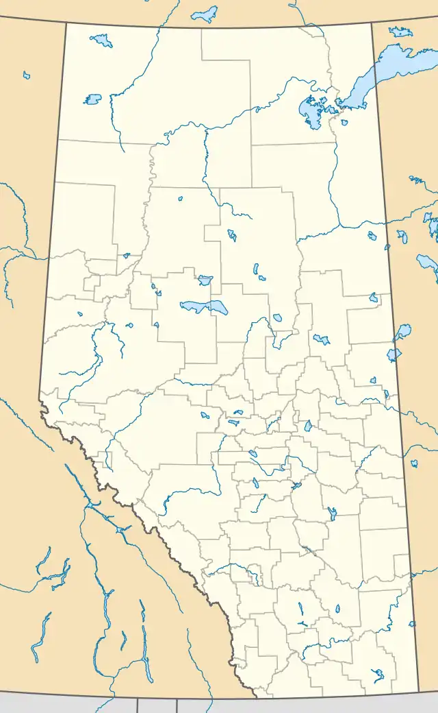 Esther, Alberta (Alberta) | |
| Coordinates: 51°40′57″N 110°15′37″W / 51.6825°N 110.2603°W | |
| Country | Canada |
| Province | Alberta |
| Region | Central Alberta |
| Census division | No. 4 |
| Special Area | Special Area No. 3 |
| Government | |
| • Type | Unincorporated |
| • Governing body | Special Areas Board |
| Time zone | UTC-7 (Mountain Time Zone) |
| • Summer (DST) | UTC-6 (Mountain Time Zone) |
Esther is a hamlet in southern Alberta, Canada that is under the jurisdiction of the Special Areas Board.[1] Within Special Area No. 3, it is 16 kilometres (9.9 mi) east of Highway 41, 185 kilometres (115 mi) north of Medicine Hat. It was first settled in 1910.[2] The community has the name of Anna Esther Landreth, a girl in the neighbourhood.[3]
See also
References
- ^ "Specialized and Rural Municipalities and Their Communities" (PDF). Alberta Municipal Affairs. June 3, 2024. Retrieved June 14, 2024.
- ^ Rush Centre Women's Institute (1959). Esther Community History. Hanna, Alberta: Hanna Herald. p. 2.
- ^ Place-names of Alberta. Ottawa: Geographic Board of Canada. 1928. p. 49.
Subdivisions of Alberta | |
|---|---|
| Subdivisions | |
| Communities | |
| Cities and urban service areas | |
| |
51°40′57″N 110°15′37″W / 51.68250°N 110.26028°W