Escondido Summit
| Escondido Summit | |
|---|---|
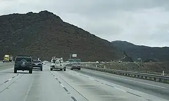 Northbound view from CA 14. | |
| Elevation | 3,258 ft (993 m)[1] |
| Traversed by | |
| Location | Los Angeles County, California, U.S. |
| Range | Sierra Pelona Mountains |
| Coordinates | 34°30′09″N 118°15′18″W / 34.50250°N 118.25500°W |
| Topo map | USGS Palmdale |
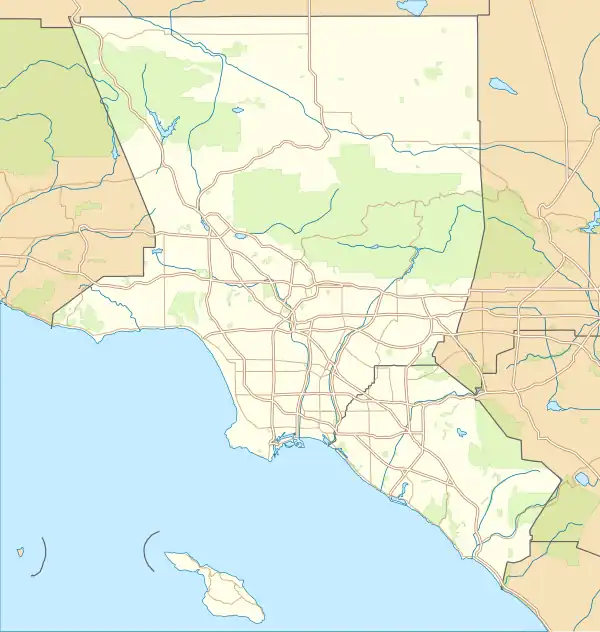 Location in California  Escondido Summit (California) | |
Escondido Summit, elevation 3,258 ft (993 m), is a mountain pass in northern Los Angeles County, California.
It is located at the highest point along California Highway 14, which crests in the foothills of the Sierra Pelona Mountains just 3 mi (4.8 km) northwest of Acton, California.
Nearby Formations
- Soledad Pass - a second, lower mountain pass located at the highest point within Soledad Canyon.
- Soledad Canyon
- Vazquez Rocks
References
- ^ "SGM: The Numbers". tchester.org. Retrieved 2017-01-05.