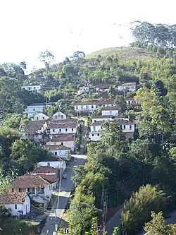
Engenheiro Paulo de Frontin, Rio de Janeiro
Engenheiro Paulo de Frontin | |
|---|---|
| Município de Engenheiro Paulo de Frontin | |
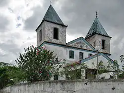 Sacra Família Church | |
 Flag  Seal | |
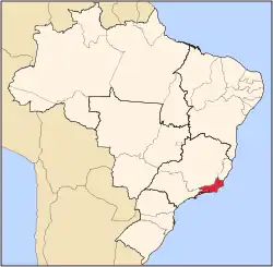
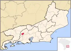 Location of Engenheiro Paulo de Frontin in the state of Rio de Janeiro | |
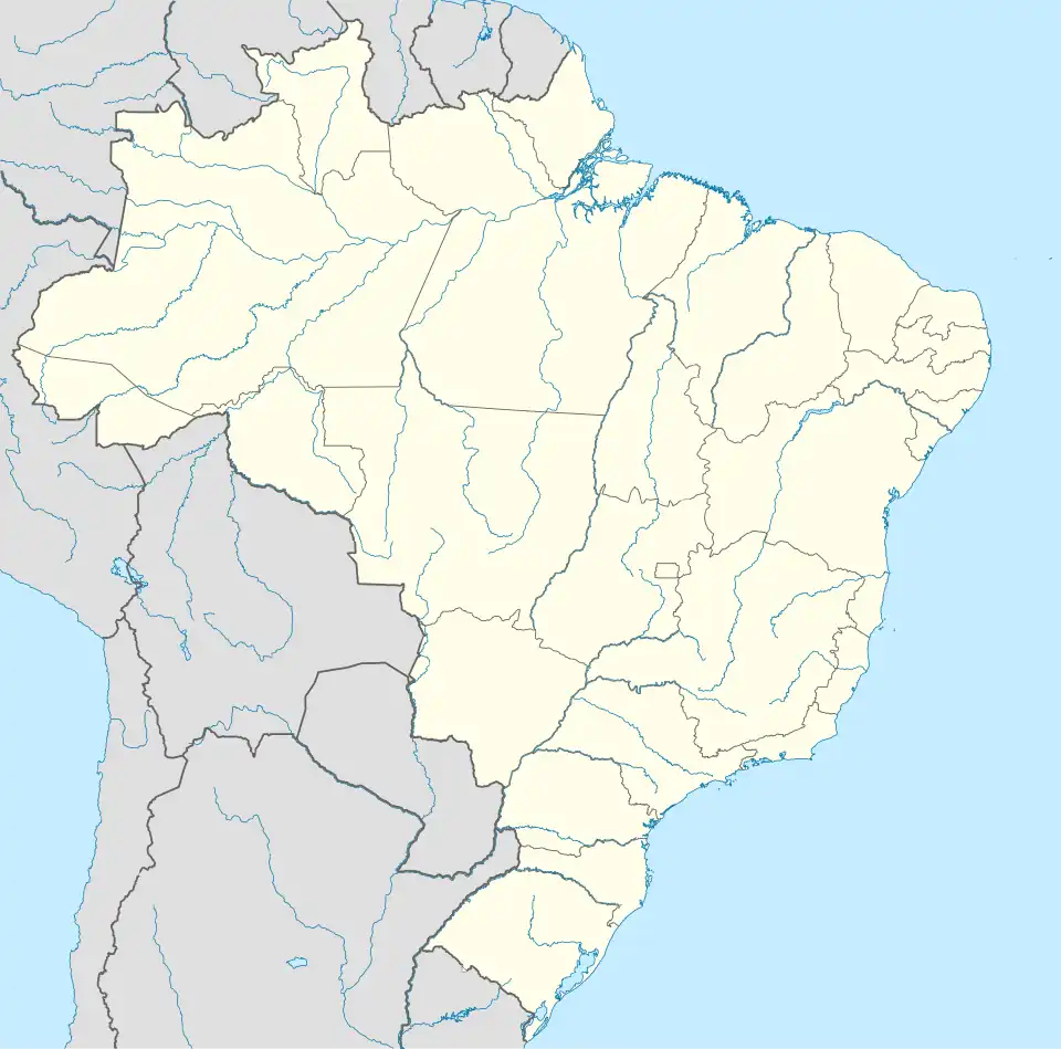 Engenheiro Paulo de Frontin Location of Engenheiro Paulo de Frontin in Brazil | |
| Coordinates: 22°33′00″S 43°40′40″W / 22.55000°S 43.67778°W | |
| Country | |
| Region | Southeast |
| State | |
| Government | |
| • Prefeito | José Emmanoel Rodrigues Artemenko (PSDB) |
| Area | |
• Total | 139.008 km2 (53.671 sq mi) |
| Elevation | 395 m (1,296 ft) |
| Population (2020 [1]) | |
• Total | 14,071 |
| Time zone | UTC-3 (UTC-3) |
| Website | [1] |
Engenheiro Paulo de Frontin (Portuguese pronunciation: [ẽʒẽˈɲe(j)ɾu ˈpawlu dʒi fɾõˈtʃĩ]) is a municipality located in the Brazilian state of Rio de Janeiro. Its population was 14,071 (2020) and its area is 139 km².[2]
References
- ^ IBGE 2020
- ^ IBGE - "Archived copy". Archived from the original on 2007-01-09. Retrieved 2014-08-03.
{{cite web}}: CS1 maint: archived copy as title (link)
Capital: Rio de Janeiro | |||||||||||
| Mesoregion Baixadas |
|  | |||||||||
| Mesoregion Centro Fluminense |
| ||||||||||
| Mesoregion Metropolitana do Rio de Janeiro |
| ||||||||||
| Mesoregion Noroeste Fluminense |
| ||||||||||
| Mesoregion Norte Fluminense |
| ||||||||||
| Mesoregion Sul Fluminense |
| ||||||||||