Elati, Kozani
Elati
Ελάτη | |
|---|---|
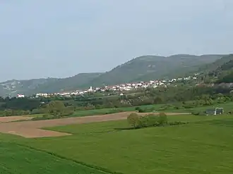 Elati seen from the west | |
 Seal | |
 Elati | |
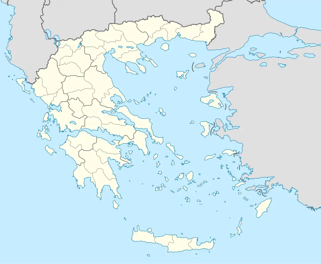
| Coordinates: 39°58′N 21°49′E / 39.967°N 21.817°E | |
| Country | Greece |
| Administrative region | West Macedonia |
| Regional unit | Kozani |
| Municipality | Servia |
| Municipal unit | Kamvounia |
| Area | |
• Community | 40.0 km2 (15.4 sq mi) |
| Elevation | 650 m (2,130 ft) |
| Population (2021)[1] | |
• Community | 338 |
| • Density | 8.5/km2 (22/sq mi) |
| Time zone | UTC+2 (EET) |
| • Summer (DST) | UTC+3 (EEST) |
| Postal code | 505 00 |
| Area code(s) | +30 24640 |
| Vehicle registration | ΚΖ |
Elati (Greek: Ελάτη, before 1928: Greek: Λουζιανή Louziani)[2] is a village in the Kozani regional unit, Greece. It is part of the municipal unit Kamvounia.
Gallery
-
 Metamorphosis Church in Elati 2009
 -
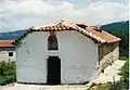 Saint Paraskevi's Church
 -
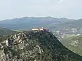 Saint Nikanoras Monastery west of Elati 2009
 -
 Hermitage close to Elati 2009
 -
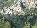
 View over Elati into the valley 2009
 -
 Traditional dances
 -
 Educational association
 -
 Football club "Elatos"
 -
 Rogatziarika at New Year
 -
 Panoramic view of Aliakmon river
 -
 Steel bridge over Aliakmonas river west of Elati 2009
 -
 The fir-rich forest
 -
 Forest landscape
References
- ^ "Αποτελέσματα Απογραφής Πληθυσμού - Κατοικιών 2021, Μόνιμος Πληθυσμός κατά οικισμό" [Results of the 2021 Population - Housing Census, Permanent population by settlement] (in Greek). Hellenic Statistical Authority. 29 March 2024.
- ^ "Ελάτη (Κοζάνης), local government changes". EETAA. Retrieved 7 September 2021.
External links
Wikimedia Commons has media related to Elati, Kozani.