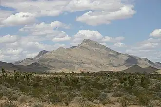
East Mormon Mountains
| East Mormon Mountains | |
|---|---|
 East Mormon Mountains | |
| Highest point | |
| Elevation | 1,471 m (4,826 ft) |
| Geography | |
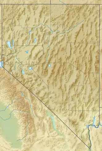
| Country | United States |
| State | Nevada |
| District | Lincoln County |
| Range coordinates | 36°55′54.900″N 114°18′39.928″W / 36.93191667°N 114.31109111°W |
| Topo map | USGS Davidson Peak |
The East Mormon Mountains is a mountain range in Lincoln County, Nevada.[1] As their name implies, they are east of the Mormon Mountains.
References
- ^ a b "East Mormon Mountains". Geographic Names Information System. United States Geological Survey, United States Department of the Interior. Retrieved 2009-05-04.