eSikhawini
ESikhawini (somewhere between Richards bay and empangeni) | |
|---|---|
 ESikhawini (somewhere between Richards bay and empangeni) 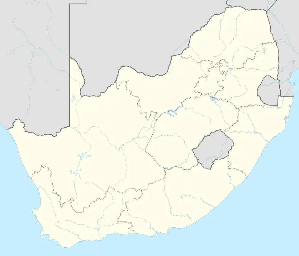 ESikhawini (somewhere between Richards bay and empangeni) | |
| Coordinates: 28°53′S 31°54′E / 28.883°S 31.900°E | |
| Country | South Africa |
| Province | KwaZulu-Natal |
| District | King Cetshwayo |
| Municipality | uMhlathuze |
| Area | |
• Total | 5.90 km2 (2.28 sq mi) |
| Population (2001)[1] | |
• Total | 32,437 |
| • Density | 5,500/km2 (14,000/sq mi) |
| Racial makeup (2001) | |
| • Black African | 99.8% |
| • Coloured | 0.1% |
| First languages (2001) | |
| • Zulu | 98.5% |
| • Sesotho | 0.1% |
| Time zone | UTC+2 (SAST) |
| Postal code (street) | 3887 |
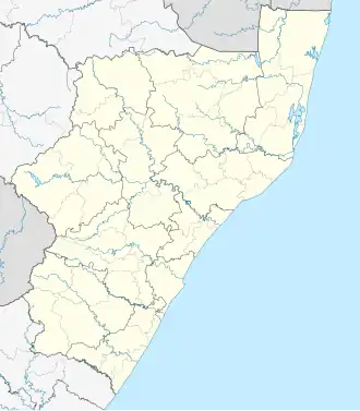
eSikhaleni popularly known as eSikhawini is a town in the King Cetshwayo District Municipality of the KwaZulu-Natal province of South Africa.
eSikhaleni is located 2 km off the N2 route. Richards Bay and Empangeni are closest towns, being both located 15–20 km away. It was established in 1976 as a black township consisting of middle income residents.[2]
Sports facilities
- Esikhawini H Ground
- Esikhawini College
- Tisand Tech High School
- Sithole place
- Tebugho (social work welfare)
- Thabiso center
- Dephini ground
Places
- Madlankala Reserve
- Madlankala village
- Mabuyeni
- Esikhawini J
- Esikhawini H
- Dube village Found on the northern outskirts of the H section it is one of the oldest villages of Esikhawini.
- Gobandlovu Reserve
- PortDunFord (PD)
References
- ^ a b c d "Main Place ESikhawini". Census 2001.
- ^ "Planning for Recreational Facilities and Open Spaces: A Case Study of ESikhawini Township at Umhlathuze Municipality, KwaZulu Natal" (PDF). University of KwaZulu-Natal. Retrieved 4 January 2014.
Municipalities and communities of King Cetshwayo District Municipality, KwaZulu-Natal | ||
|---|---|---|
District seat: Richards Bay | ||
| uMhlathuze | .svg.png) | |
| uMlalazi | ||
| Nkandla | ||
| Mbonambi | ||
| Ntambanana | ||
| Mthonjaneni | ||