Eğiste
Eğiste
Bağbaşı | |
|---|---|
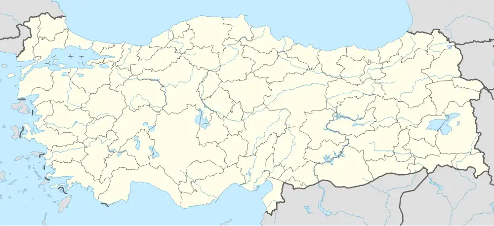 Eğiste Location in Turkey 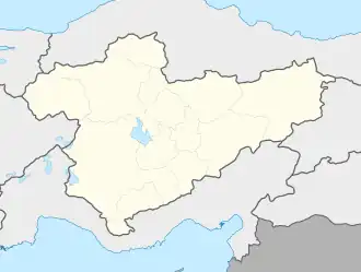 Eğiste Eğiste (Turkey Central Anatolia) | |
| Coordinates: 37°06′N 32°27′E / 37.100°N 32.450°E | |
| Country | Turkey |
| Province | Konya |
| District | Hadim |
| Elevation | 1,320 m (4,330 ft) |
| Population (2022) | 686 |
| Time zone | UTC+3 (TRT) |
| Area code | 0332 |
Eğiste (formerly: Bağbaşı) is a neighbourhood of the municipality and district of Hadim, Konya Province, Turkey.[1] Its population is 686 (2022).[2] Before the 2013 reorganisation, it was a town (belde).[3][4]
It is situated in Toros Mountains, just at the south of a pass named after Eğiste. It is planned to be the northern terminus of the 17 kilometres (11 mi) Blue Tunnel Project (Turkish: Mavi tünel) where the southern terminal will be Atayurt in Mersin Province. After realising the project water from Göksu River will be fed to Konya villages.
References
- ^ Mahalle, Turkey Civil Administration Departments Inventory. Retrieved 19 September 2023.
- ^ "Address-based population registration system (ADNKS) results dated 31 December 2022, Favorite Reports" (XLS). TÜİK. Retrieved 19 September 2023.
- ^ "Law No. 6360". Official Gazette (in Turkish). 6 December 2012.
- ^ "Classification tables of municipalities and their affiliates and local administrative units" (DOC). Official Gazette (in Turkish). 12 September 2010.