Duncan Ranch Colony, Montana
Duncan Ranch Colony, Montana | |
|---|---|
 Duncan Ranch Colony  Duncan Ranch Colony | |
| Coordinates: 46°26′31″N 110°01′35″W / 46.44194°N 110.02639°W | |
| Country | United States |
| State | Montana |
| County | Wheatland |
| Area | |
• Total | 0.60 sq mi (1.57 km2) |
| • Land | 0.60 sq mi (1.57 km2) |
| • Water | 0.00 sq mi (0.00 km2) |
| Elevation | 4,354 ft (1,327 m) |
| Population (2020) | |
• Total | 7 |
| • Density | 11.57/sq mi (4.47/km2) |
| Time zone | UTC-7 (Mountain (MST)) |
| • Summer (DST) | UTC-6 (MDT) |
| ZIP Codes | |
| Area code | 406 |
| FIPS code | 30-22130 |
| GNIS feature ID | 2804317[2] |
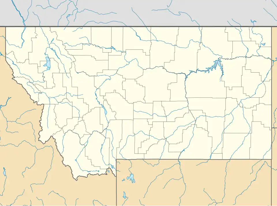
Duncan Ranch Colony is a Hutterite community[3] and census-designated place (CDP) in Wheatland County, Montana, United States. It is in the west-central part of the county, on the south side of U.S. Route 12, 9 miles (14 km) west of Harlowton, the county seat, and 3 miles (5 km) east of Twodot. The Musselshell River flows eastward through the colony.
The community was first listed as a CDP prior to the 2020 census.[2]
Demographics
| Census | Pop. | Note | %± |
|---|---|---|---|
| 2020 | 7 | — | |
| U.S. Decennial Census[4] | |||
Education
It is zoned to Harlowton Public Schools.[5]
References
- ^ "ArcGIS REST Services Directory". United States Census Bureau. Retrieved September 5, 2022.
- ^ a b c U.S. Geological Survey Geographic Names Information System: Duncan Ranch Colony, Montana
- ^ Morton, Claudette, ed. (2010). Essential Understandings of Montana Hutterites: A Resource for Educators and Students (PDF). Montana Office of Public Instruction. p. 2. Archived from the original (PDF) on June 9, 2021. Retrieved June 16, 2021.
- ^ "Census of Population and Housing". Census.gov. Retrieved June 4, 2016.
- ^ "2020 CENSUS - SCHOOL DISTRICT REFERENCE MAP: Wheatland County, MT" (PDF). U.S. Census Bureau. Retrieved October 7, 2022.
Municipalities and communities of Wheatland County, Montana, United States | ||
|---|---|---|
| Cities | 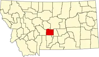 | |
| CDPs | ||