Duckhole
| Duckhole | |
|---|---|
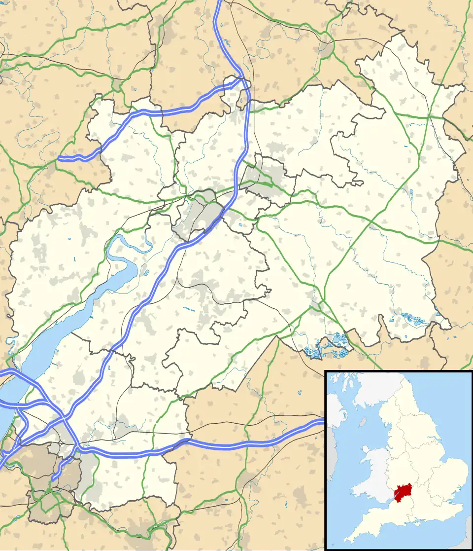 Duckhole Location within Gloucestershire | |
| OS grid reference | ST6421992532 |
| Unitary authority | |
| Ceremonial county | |
| Region | |
| Country | England |
| Sovereign state | United Kingdom |
| Post town | BRISTOL |
| Postcode district | BS35 |
| Dialling code | 01454 |
| Police | Avon and Somerset |
| Fire | Avon |
| Ambulance | South Western |
| UK Parliament | |
Duckhole is a hamlet in South Gloucestershire in the west of England.[1] Historically it was located in the hundred of Lower Thornbury in the county of Gloucestershire and the name dates back at least as far as 1658, when it appeared in a parliamentary survey.[2]
At the time of the 2011 United Kingdom census Duckhole consisted of just thirteen households with a total population of thirty-five.[3] The hamlet lies in a rural setting a short distance to the west of Lower Morton, near the town of Thornbury and consists mainly of farmland and also a small number of cottages.[4][5]
References
- ^ Catalogue description Thornbury: land adjoining Oldbury Lane and land between Duckhole and Gossyard Court [216]. 1960–1975.
- ^ Smith, A.H. (1964). The Place-Names of Gloucestershire – Part Three: The Lower Severn Valley and The Forest of Dean. London: The Cambridge University Press. ISBN 978-0521049337.
{{cite book}}: ISBN / Date incompatibility (help) - ^ "Postcode Headcounts and Household Estimates - 2011 Census". Office for National Statistics. 25 September 2013. Retrieved 2 March 2020.
- ^ "Duckhole" (Map). Google Maps. Retrieved 3 March 2020.
- ^ "House prices in Lower Morton, Thornbury, Bristol BS35 1LD". Zoopla. Retrieved 3 March 2020.
External links
![]() Media related to Duckhole at Wikimedia Commons
Media related to Duckhole at Wikimedia Commons