Drawbridge, Cornwall
| Drawbridge | |
|---|---|
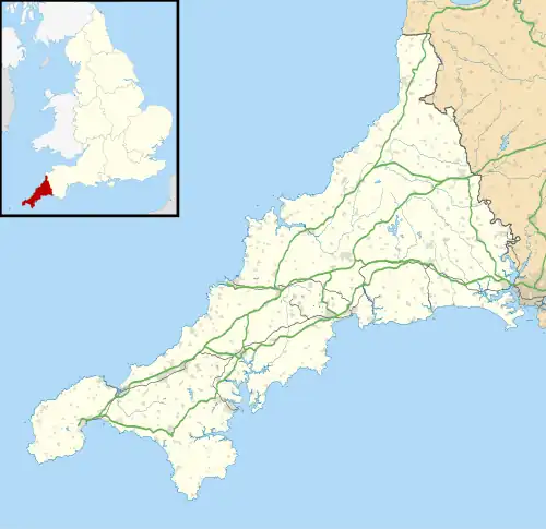 Drawbridge Location within Cornwall | |
| OS grid reference | SX160652 |
| Civil parish | |
| Unitary authority | |
| Ceremonial county | |
| Region | |
| Country | England |
| Sovereign state | United Kingdom |
| Post town | Liskeard |
| Postcode district | PL14 6 |
Drawbridge is a hamlet in the parish of St Neot (where the 2011 census was included), Cornwall, England, UK.[1][2]
References
- ^ Ordnance Survey: Landranger map sheet 201 Plymouth & Launceston (Map). Ordnance Survey. ISBN 978-0-319-23287-3.
- ^ Drawbridge; Explore Britain
| Unitary authorities | |
|---|---|
| Major settlements (cities in italics) |
|
| Rivers | |
| Topics | |