Drahura
| Drahura Cacova | |
|---|---|
 | |
| Location | |
| Country | Romania |
| Counties | Neamț County |
| Villages | Vânători-Neamț |
| Physical characteristics | |
| Mouth | Neamț |
• location | Târgu Neamț |
• coordinates | 47°12′38″N 26°19′56″E / 47.21056°N 26.33222°E |
• elevation | 381 m (1,250 ft) |
| Length | 8 km (5.0 mi) |
| Basin size | 12 km2 (4.6 sq mi) |
| Basin features | |
| Progression | Neamț→ Moldova→ Siret→ Danube→ Black Sea |
| Tributaries | |
| • left | Pârâul Butucilor |
| • right | Căldarea, Drehuța |
| River code | XII.1.40.41.6 |
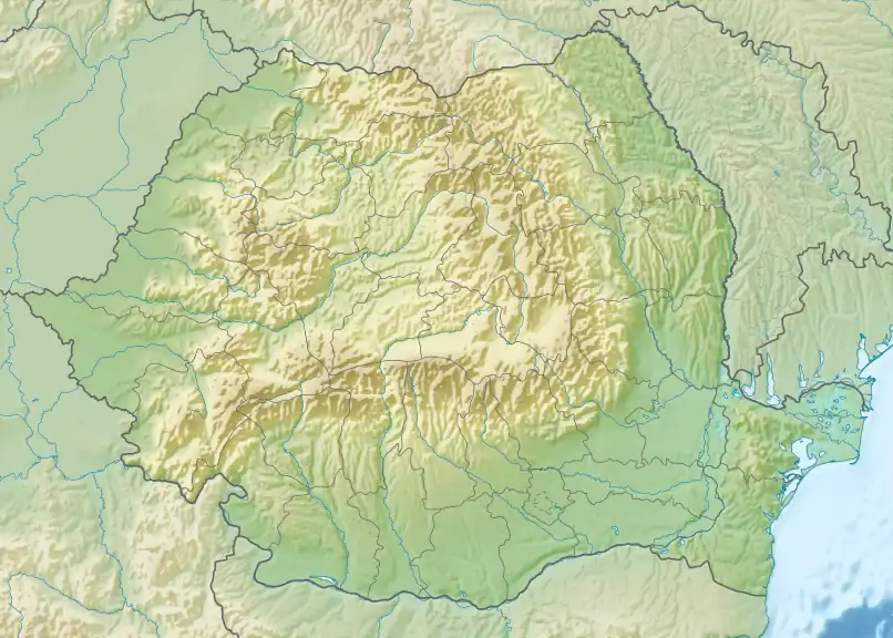
The Drahura (also known as Cacova) is a right tributary of the river Neamț in Romania.[1][2] It flows into the Neamț in the town of Târgu Neamț. The river has a length of 8 km (5.0 mi) and a basin size of 12 km2 (4.6 sq mi).[2]
References
- ^ "Planul național de management. Sinteza planurilor de management la nivel de bazine/spații hidrografice, anexa 7.1" (PDF, 5.1 MB). Administrația Națională Apele Române. 2010. p. 938.
- ^ a b Atlasul cadastrului apelor din România. Partea 1 (in Romanian). Bucharest: Ministerul Mediului. 1992. p. 383. OCLC 895459847. River code: XII.1.40.41.6
Maps
- Harta turistică, Parcul Vânători-Neamț