Downer, Minnesota
Downer | |
|---|---|
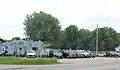
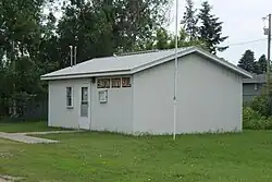 Elkton Town Hall/Downer City Hall | |
 Downer  Downer | |
| Coordinates: 46°45′15″N 96°29′13″W / 46.75417°N 96.48694°W | |
| Country | United States |
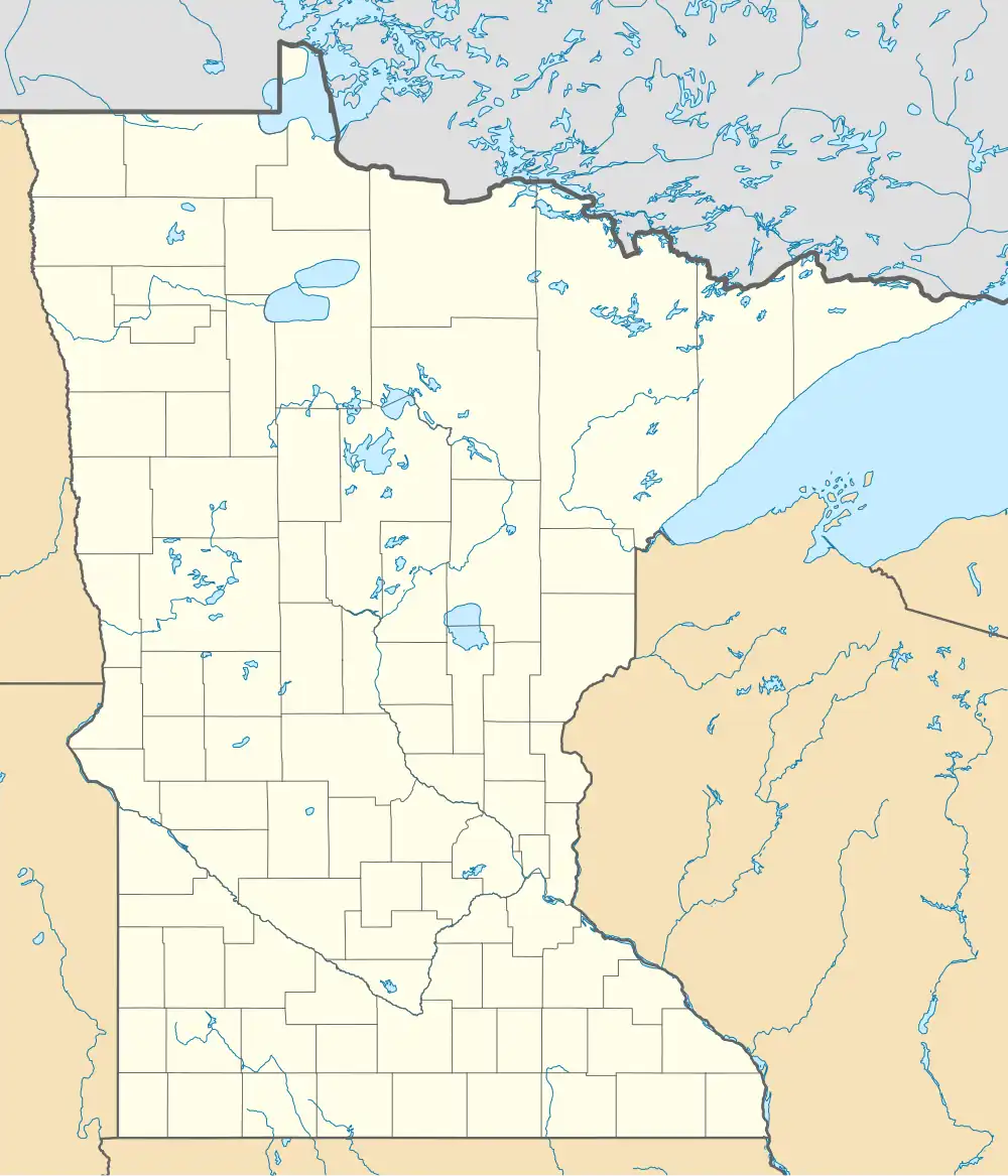
| State | Minnesota |
| County | Clay |
| Elevation | 968 ft (295 m) |
| Time zone | UTC-6 (Central (CST)) |
| • Summer (DST) | UTC-5 (CDT) |
| Area code | 218 |
| GNIS feature ID | 642918[1] |
Downer is an unincorporated community in Clay County, Minnesota, United States.[1]
The community is located between Moorhead and Barnesville at the junction of Minnesota State Highway 9 and County Road 10 (90th Avenue South). Interstate 94/U.S. Highway 52 is nearby.[2]
History
Downer contained a post office from 1886 until 1954.[3] The community was named by the railroad.[4]
Gallery
-
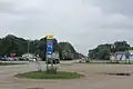 County Rd. 9 crossing 90th Avenue
 -
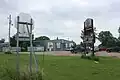 Mainline Bar and Grill
 -
 Downer Auto
References
- ^ a b "Downer, Minnesota". Geographic Names Information System. United States Geological Survey, United States Department of the Interior.
- ^ Rand McNally Road Atlas - 2007 edition - Minnesota entry
- ^ U.S. Geological Survey Geographic Names Information System: Downer Post Office (historical)
- ^ Upham, Warren (1920). Minnesota Geographic Names: Their Origin and Historic Significance. Minnesota Historical Society. p. 115.
Municipalities and communities of Clay County, Minnesota, United States | ||
|---|---|---|
| Cities | 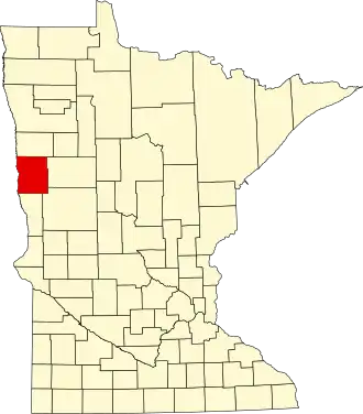 | |
| Townships | ||
| CDPs | ||
| Unincorporated communities | ||
| Ghost towns | ||