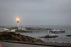
Doringbaai
Doringbaai | |
|---|---|
 | |
 Doringbaai 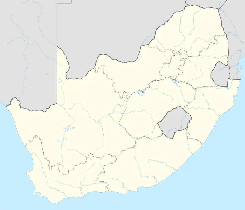 Doringbaai | |
| Coordinates: 31°49′S 18°14′E / 31.817°S 18.233°E | |
| Country | South Africa |
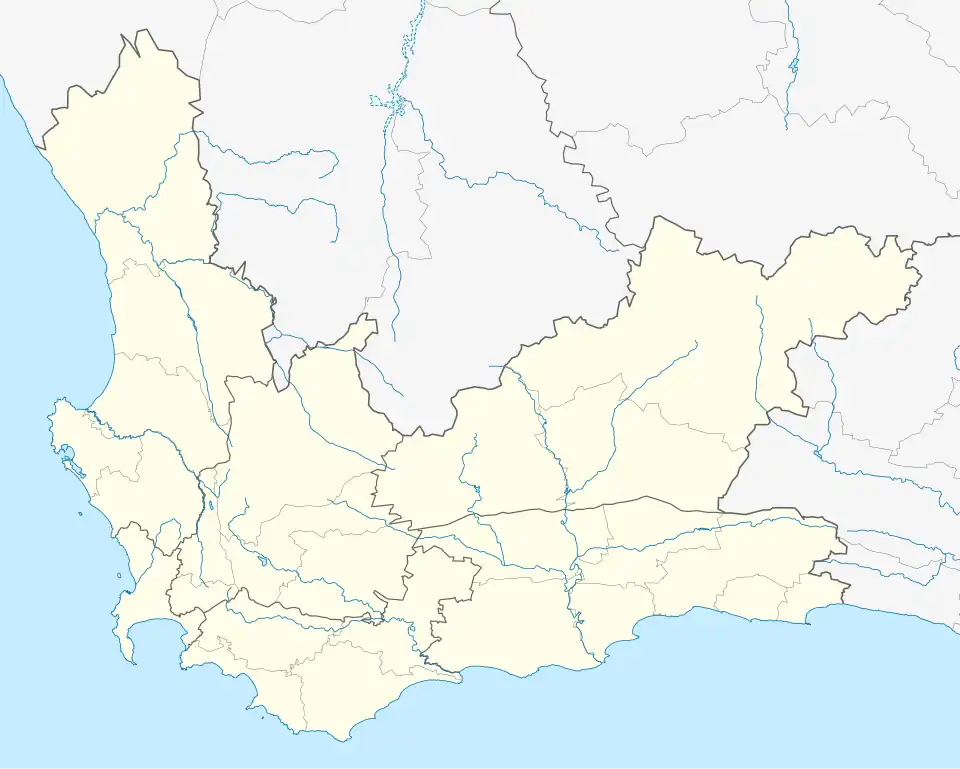
| Province | Western Cape |
| District | West Coast |
| Municipality | Matzikama |
| Area | |
• Total | 1.79 km2 (0.69 sq mi) |
| Population (2011)[1] | |
• Total | 1,260 |
| • Density | 700/km2 (1,800/sq mi) |
| Racial makeup (2011) | |
| • Black African | 2.7% |
| • Coloured | 90.2% |
| • Indian/Asian | 0.1% |
| • White | 6.9% |
| • Other | 0.2% |
| First languages (2011) | |
| • Afrikaans | 96.4% |
| • English | 2.7% |
| • Other | 1.0% |
| Time zone | UTC+2 (SAST) |
| Postal code (street) | 8151 |
| PO box | 8151 |
Doringbaai is a settlement in West Coast District Municipality in the Western Cape province of South Africa.
Doringbaai, previously known as Doornbaai, is a small fishing village. The main economic activity is the packaging and export of crayfish. In the past, the bay at Doringbaai was used as an anchorage for the trade route; provisions were deposited here and transported to Vanrhynsdorp by camel. The lighthouse, one of the local landmarks, was built in 1963.[2]
References
- ^ a b c d "Main Place Doringbaai". Census 2011.
- ^ "Doringbaai, Western Cape". SA Travel Directory. Archived from the original on 11 July 2015. Retrieved 10 July 2015.
Wikimedia Commons has media related to Doringbaai.
Municipalities and communities of West Coast District Municipality, Western Cape | ||
|---|---|---|
District seat: Moorreesburg | ||
| Matzikama | .svg.png) | |
| Cederberg | ||
| Bergrivier | ||
| Saldanha Bay | ||
| Swartland | ||