Donja Pištana
Donja Pištana | |
|---|---|
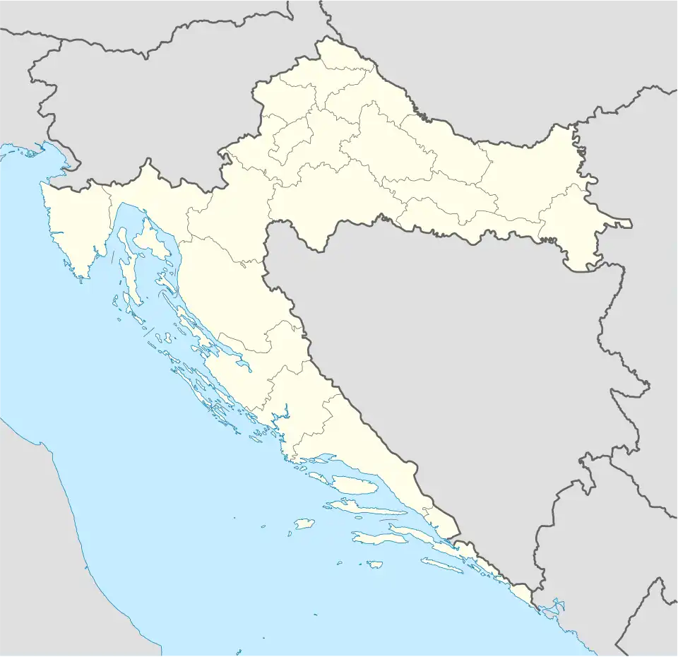 Donja Pištana Location of Donja Pištana within Croatia | |
| Coordinates: 45°31′N 17°50′E / 45.517°N 17.833°E | |
| Country | |
| County | |
| Area | |
• Total | 6.8 km2 (2.6 sq mi) |
| Elevation | 0 m (0 ft) |
| Population (2021)[2] | |
• Total | 207 |
| • Density | 30/km2 (79/sq mi) |
| Time zone | UTC+1 (CET) |
| • Summer (DST) | UTC+2 (CEST) |
| Postal code | 33515 Orahovica |
| Area code | 033 |
Donja Pištana is a village in north-eastern Slavonia, situated in municipality town of Orahovica, Virovitica-Podravina County, Croatia.
Population
| year of census | 2001. | 1991. | 1981. | 1971. | 1961. |
|---|---|---|---|---|---|
| Croats | 183 (66,06%) | 138 (40,23%) | 138 (37,50%) | 221 (52,74%) | 224 (46,76%) |
| Serbs | 39 (14,07%) | 125 (36,44%) | 92 (25,00%) | 144 (34,36%) | 246 (51,35%) |
| Yugoslavs | 0 | 50 (14,57%) | 119 (32,33%) | 35 (8,35%) | 7 (1,46%) |
| others and unknown | 55 (19,85%) | 30 (8,74%) | 19 (5,16%) | 19 (4,53%) | 2 (0,41%) |
| total | 277 | 343 | 368 | 419 | 479 |
References
- ^ Register of spatial units of the State Geodetic Administration of the Republic of Croatia. Wikidata Q119585703.
- ^ "Population by Age and Sex, by Settlements" (xlsx). Census of Population, Households and Dwellings in 2021. Zagreb: Croatian Bureau of Statistics. 2022.
- CD-rom: "Naselja i stanovništvo RH od 1857-2001. godine", Izdanje Državnog zavoda za statistiku Republike Hrvatske, Zagreb, 2005.