Donderen
Donderen | |
|---|---|
 Farm at Donderen | |
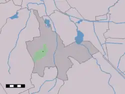 The village centre (dark green) and the statistical district (light green) of Donderen in the municipality of Tynaarlo. | |
 Donderen Location in province of Drenthe in the Netherlands 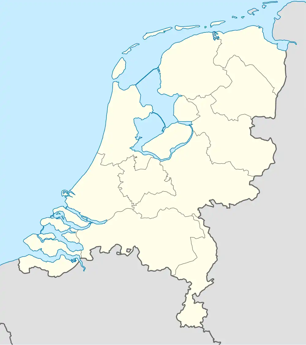 Donderen Donderen (Netherlands) | |
| Coordinates: 53°6′N 6°33′E / 53.100°N 6.550°E | |
| Country | Netherlands |
| Province | Drenthe |
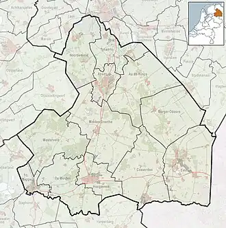
| Municipality | Tynaarlo |
| Area | |
• Total | 9.15 km2 (3.53 sq mi) |
| Elevation | 7 m (23 ft) |
| Population (2021)[1] | |
• Total | 475 |
| • Density | 52/km2 (130/sq mi) |
| Time zone | UTC+1 (CET) |
| • Summer (DST) | UTC+2 (CEST) |
| Postal code | 9497[1] |
| Dialing code | 0592 |
Donderen is a village in the Dutch province of Drenthe. It is a part of the municipality of Tynaarlo, and lies about 10 km north of Assen.
The village was first mentioned in 1276 as "Sigheri de Dunren". The etymology is unclear.[3] Donderen was home to 267 people in 1840.[4]

References
- ^ a b c "Kerncijfers wijken en buurten 2021". Central Bureau of Statistics. Retrieved 12 April 2022.
- ^ "Postcodetool for 9497PA". Actueel Hoogtebestand Nederland (in Dutch). Het Waterschapshuis. Retrieved 12 April 2022.
- ^ "Donderen - (geografische naam)". Etymologiebank (in Dutch). Retrieved 12 April 2022.
- ^ "Donderen". Plaatsengids (in Dutch). Retrieved 12 April 2022.
Wikimedia Commons has media related to Donderen.