Dominguez Hills (mountain range)
| Dominguez Hills | |
|---|---|
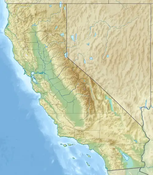 Dominguez Hills Location of Dominguez Hills in California[1]  Dominguez Hills Dominguez Hills (the United States) | |
| Highest point | |
| Elevation | 61 m (200 ft) |
| Geography | |
| Country | United States |
| State | California |
| District | Los Angeles County |
| Range coordinates | 33°51′39.060″N 118°14′3.256″W / 33.86085000°N 118.23423778°W |
| Topo map | USGS Long Beach |
The Dominguez Hills are a low mountain range in the Transverse Ranges, in southern Los Angeles County, California.[1] They are named for the locally prominent Californio family of Manuel Dominguez, which owned Rancho San Pedro.
They are between the Baldwin Hills and Palos Verdes Peninsula.
See also
- 1910 Los Angeles International Air Meet at Dominguez Field
- California State University, Dominguez Hills
- Manuel Dominguez
- Rancho Dominguez, California
References
- ^ a b "Dominguez Hills". Geographic Names Information System. United States Geological Survey, United States Department of the Interior. Retrieved 2009-05-04.