Dohňany
Dohňany | |
|---|---|
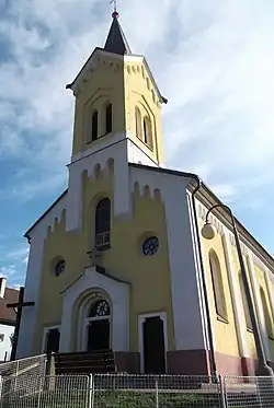 Church of Saints Cyril and Methodius | |
 Flag | |
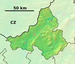 Dohňany Location of Dohňany in the Trenčín Region 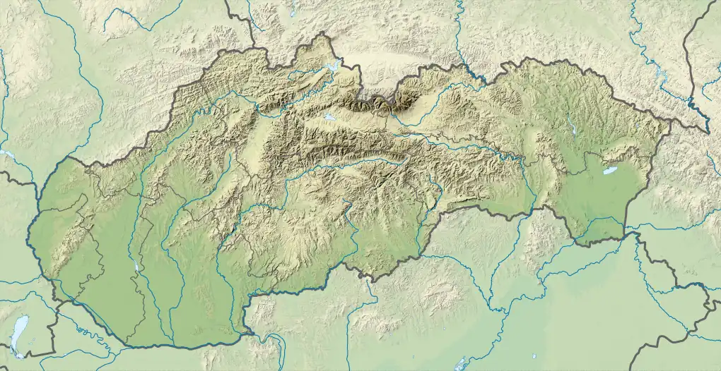 Dohňany Location of Dohňany in Slovakia | |
| Coordinates: 49°09′N 18°18′E / 49.15°N 18.30°E | |
| Country | |
| Region | |
| District | Púchov District |
| First mentioned | 1471 |
| Area | |
• Total | 28.75 km2 (11.10 sq mi) |
| Elevation | 336 m (1,102 ft) |
| Population (2021)[3] | |
• Total | 1,898 |
| Time zone | UTC+1 (CET) |
| • Summer (DST) | UTC+2 (CEST) |
| Postal code | 205 1[2] |
| Area code | +421 42[2] |
| Car plate | PU |
| Website | www |
Dohňany (Hungarian: Donány) is a village and municipality in Púchov District in the Trenčín Region of north-western Slovakia.
History
In historical records the village was first mentioned in 1471.
Geography
The municipality lies at an altitude of 289 metres and covers an area of 28.752 km². It has a population of about 1753 people.
Genealogical resources
The records for genealogical research are available at the state archive "Statny Archiv in Bytca, Slovakia"
- Roman Catholic church records (births/marriages/deaths): 1865-1897 (parish A)
- Lutheran church records (births/marriages/deaths): 1784-1909 (parish B)
See also
References
- ^ "Hustota obyvateľstva - obce [om7014rr_ukaz: Rozloha (Štvorcový meter)]". www.statistics.sk (in Slovak). Statistical Office of the Slovak Republic. 2022-03-31. Retrieved 2022-03-31.
- ^ a b c "Základná charakteristika". www.statistics.sk (in Slovak). Statistical Office of the Slovak Republic. 2015-04-17. Retrieved 2022-03-31.
- ^ "Počet obyvateľov podľa pohlavia - obce (ročne)". www.statistics.sk (in Slovak). Statistical Office of the Slovak Republic. 2022-03-31. Retrieved 2022-03-31.
External links
 Media related to Dohňany at Wikimedia Commons
- Official website

- Surnames of living people in Dohnany