Davenport, Virginia
Davenport, Virginia | |
|---|---|
Unincorporated community | |
 Davenport, Virginia  Davenport, Virginia | |
| Coordinates: 37°06′02″N 82°08′12″W / 37.10056°N 82.13667°W | |
| Country | United States |
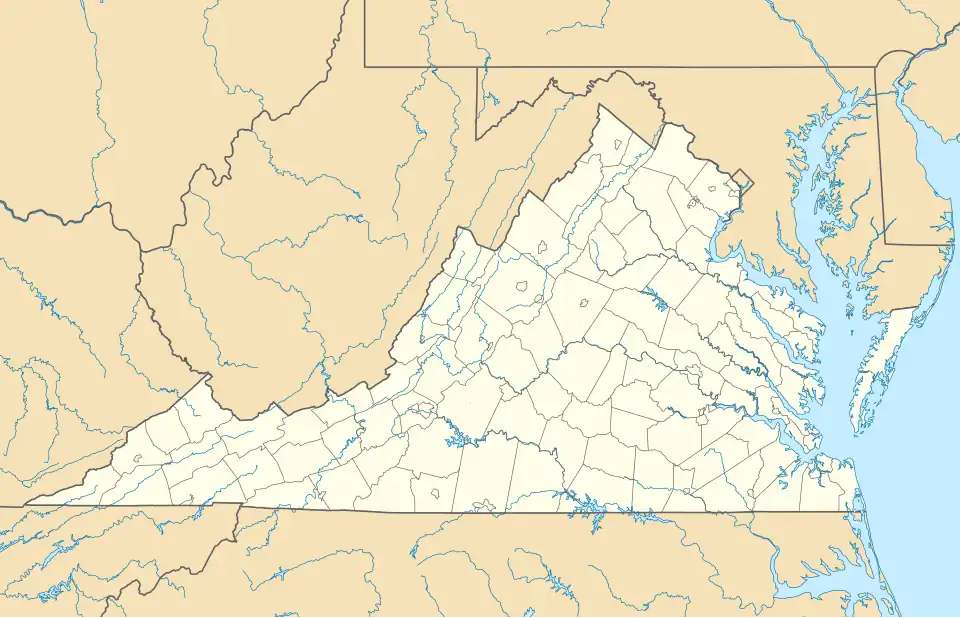
| State | Virginia |
| County | Buchanan |
| Elevation | 1,453 ft (443 m) |
| Time zone | UTC-5 (Eastern (EST)) |
| • Summer (DST) | UTC-4 (EDT) |
| ZIP code | 24239 |
| Area code | 276 |
| GNIS feature ID | 1492840[1] |
Davenport is an unincorporated small town in Buchanan County, Virginia, United States. Davenport is located along Virginia State Route 80, 12.5 miles (20.1 km) south of Grundy. Davenport has a post office with ZIP code 24239.[2]
The Davenport post office was established in 1881.[3] William Davenport was an early postmaster, for whom the town was named.[4]
References
- ^ "US Board on Geographic Names". United States Geological Survey. October 25, 2007. Retrieved January 31, 2008.
- ^ ZIP Code Lookup
- ^ "Buchanan County". Jim Forte Postal History. Archived from the original on September 28, 2014. Retrieved September 28, 2014.
- ^ Tennis, Joe (2004). Southwest Virginia Crossroads: An Almanac of Place Names and Places to See. The Overmountain Press. p. 4. ISBN 978-1-57072-256-1.
Municipalities and communities of Buchanan County, Virginia, United States | ||
|---|---|---|
| Town | 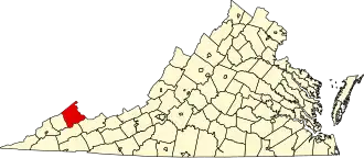 | |
| CDPs | ||
| Other communities |
| |
| Footnotes | ‡This populated place also has portions in an adjacent county or counties | |