Daruma Rock
| Daruma Rock | |
|---|---|
 Daruma Rock | |
| Highest point | |
| Coordinates | 68°32′S 41°11′E / 68.533°S 41.183°E |
| Geography | |
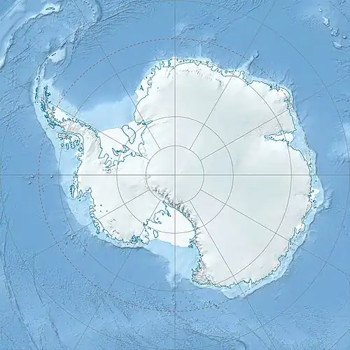
| Location | Queen Maud Land, East Antarctica |
Daruma Rock is a rock on the coast at the west side of Nishi-naga-iwa Glacier in Queen Maud Land. It was mapped from surveys and air photos by the Japanese Antarctic Research Expedition, 1957–62, and named "Daruma-iwa" (tumbler rock).
References
 This article incorporates public domain material from "Daruma Rock". Geographic Names Information System. United States Geological Survey.