Darden, Tennessee
Darden, Tennessee | |
|---|---|
 Darden  Darden | |
| Coordinates: 35°38′17″N 88°13′01″W / 35.63806°N 88.21694°W | |
| Country | United States |
| State | Tennessee |
| County | Henderson |
| Area | |
• Total | 8.39 sq mi (21.73 km2) |
| • Land | 8.39 sq mi (21.73 km2) |
| • Water | 0.00 sq mi (0.00 km2) |
| Elevation | 463 ft (141 m) |
| Population | |
• Total | 364 |
| • Density | 43.38/sq mi (16.75/km2) |
| Time zone | UTC-6 (Central (CST)) |
| • Summer (DST) | UTC-5 (CDT) |
| ZIP code | 38328 |
| Area code | 731 |
| GNIS feature ID | 1282038[3] |
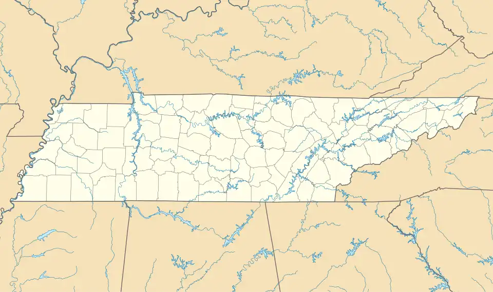
Darden is an unincorporated community and census-designated place (CDP) in Henderson County, Tennessee, United States.[3] As of the 2010 census, its population was 399.[4]
References
- ^ "ArcGIS REST Services Directory". United States Census Bureau. Retrieved October 15, 2022.
- ^ "Census Population API". United States Census Bureau. Retrieved October 15, 2022.
- ^ a b "Darden, Tennessee". Geographic Names Information System. United States Geological Survey, United States Department of the Interior.
- ^ "U.S. Census website". United States Census Bureau. Retrieved May 14, 2011.
Municipalities and communities of Henderson County, Tennessee, United States | ||
|---|---|---|
| Cities | 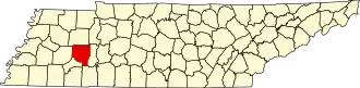 | |
| Towns | ||
| CDPs | ||
| Other communities | ||
| Footnotes | ‡This populated place also has portions in an adjacent county or counties | |