Danby (CDP), Vermont
Danby, Vermont | |
|---|---|
 Danby  Danby | |
| Coordinates: 43°20′46″N 72°59′46″W / 43.34611°N 72.99611°W | |
| Country | United States |
| State | Vermont |
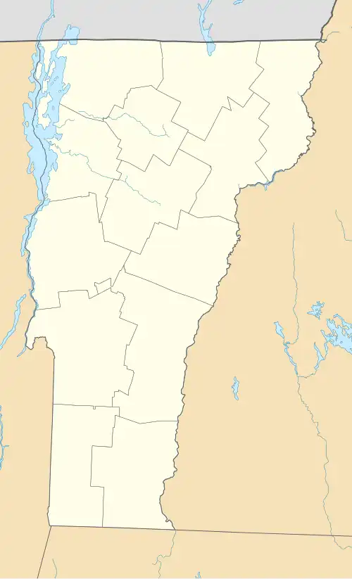
| County | Rutland |
| Towns | Danby Mount Tabor |
| Area | |
• Total | 0.71 sq mi (1.85 km2) |
| • Land | 0.71 sq mi (1.85 km2) |
| • Water | 0.0 sq mi (0.0 km2) |
| Elevation | 709 ft (216 m) |
| Population | 200 |
| Time zone | UTC-5 (Eastern (EST)) |
| • Summer (DST) | UTC-4 (EDT) |
| ZIP Code | 05739 |
| Area code | 802 |
| FIPS code | 50-16750 |
| GNIS feature ID | 2807147[3] |
Danby is an unincorporated village and census-designated place (CDP) in the towns of Danby and Mount Tabor, Rutland County, Vermont, United States. As of the 2020 census, it had a population of 200.[2]
The CDP is in southern Rutland County, split evenly between the town of Danby to the west and the town of Mount Tabor to the east. U.S. Route 7 passes through the east side of the community, leading north 9 miles (14 km) to Wallingford and south 13 miles (21 km) to Manchester Center.
Danby is bordered to the east by Otter Creek, the longest river entirely in Vermont, 6 miles (10 km) north of its headwaters in Dorset.
References
- ^ "2020 U.S. Gazetteer Files – Vermont". United States Census Bureau. Retrieved October 19, 2021.
- ^ a b "Danby CDP, Vermont: 2020 DEC Redistricting Data (PL 94-171)". U.S. Census Bureau. Retrieved October 19, 2021.
- ^ "Danby Census Designated Place". Geographic Names Information System. United States Geological Survey, United States Department of the Interior.
Municipalities and communities of Rutland County, Vermont, United States | ||
|---|---|---|
| City |  | |
| Towns | ||
| Village | ||
| CDPs | ||
| Other communities | ||