Dafniotissa
Dafniotissa
Δαφνιώτισσα | |
|---|---|
 Dafniotissa | |
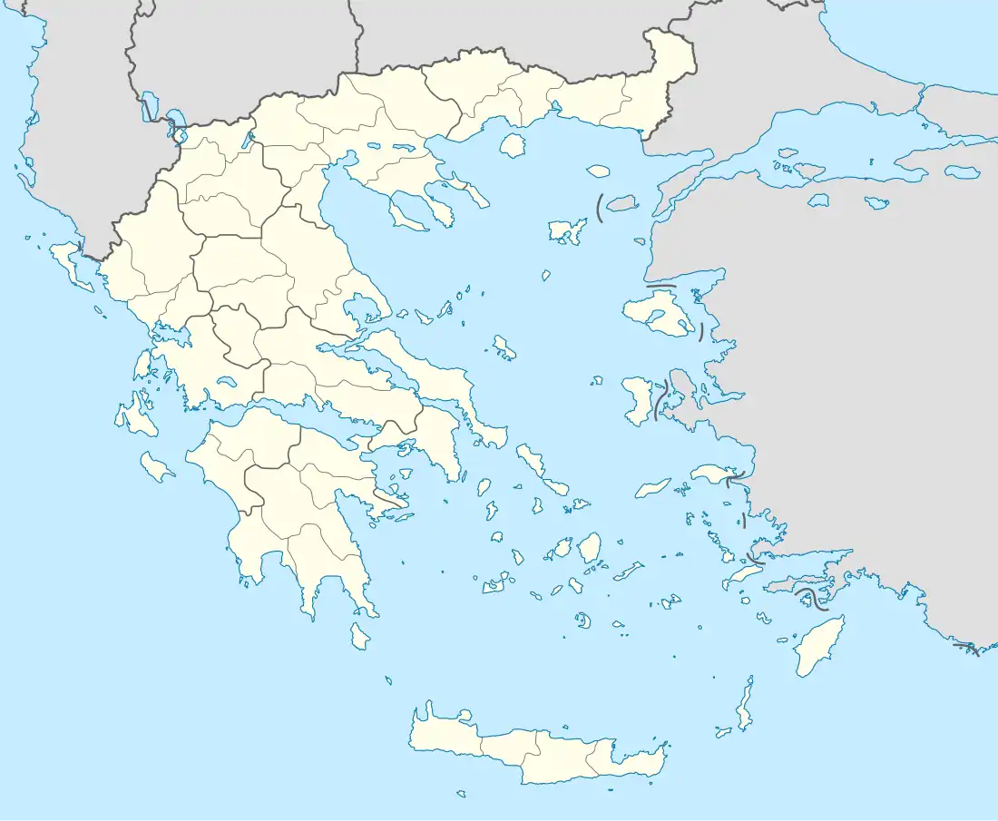
| Coordinates: 37°50′N 21°27′E / 37.833°N 21.450°E | |
| Country | Greece |
| Administrative region | West Greece |
| Regional unit | Elis |
| Municipality | Ilida |
| Municipal unit | Amaliada |
| Elevation | 150 m (490 ft) |
| Population (2021)[1] | |
• Community | 218 |
| Time zone | UTC+2 (EET) |
| • Summer (DST) | UTC+3 (EEST) |
| Postal code | 270 69 |
| Area code(s) | 26220 |
| Website | Dafniotissa |
Dafniotissa (Greek: Δαφνιώτισσα), is a village in the eastern part of the municipal unit of Amaliada, Elis, Greece. It is situated in the hills southwest of the Pineios reservoir. It is 1 km south of Keramidia, 3 km southeast of Dafni, 5 km west of Efyra and 10 km northeast of Amaliada.
Historical population
| Year | Population |
|---|---|
| 1981 | 443 |
| 1991 | 449 |
| 2001 | 459 |
| 2011 | 366 |
| 2021 | 218 |
See also
References
- ^ "Αποτελέσματα Απογραφής Πληθυσμού - Κατοικιών 2021, Μόνιμος Πληθυσμός κατά οικισμό" [Results of the 2021 Population - Housing Census, Permanent population by settlement] (in Greek). Hellenic Statistical Authority. 29 March 2024.
External links
- Dafniotissa Archived 2016-03-03 at the Wayback Machine (in Greek)