Dürnstein in der Steiermark
Dürnstein in der Steiermark | |
|---|---|
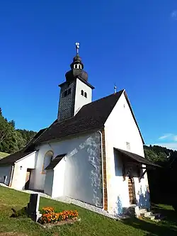 Catholic church in Dürnstein | |
 Coat of arms | |
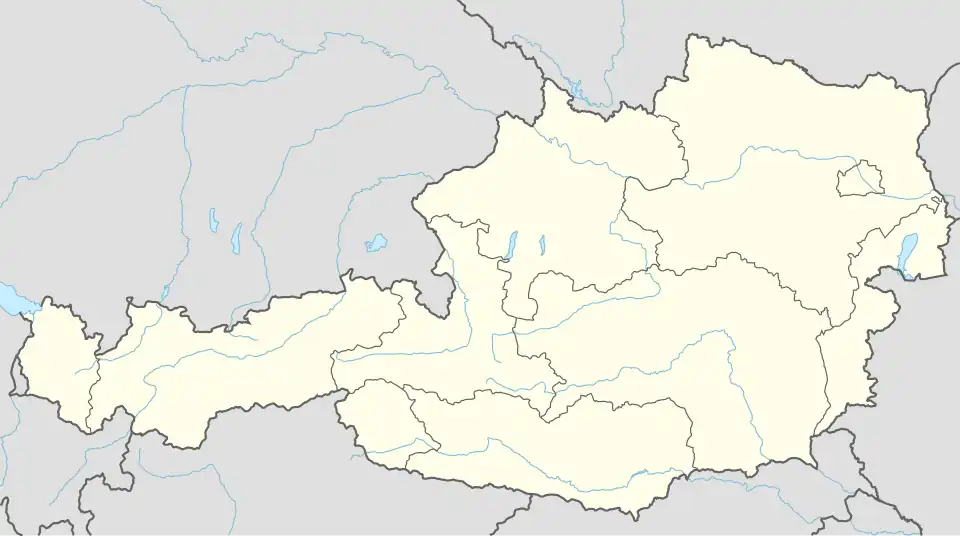 Dürnstein in der Steiermark Location within Austria | |
| Coordinates: 46°59′18″N 14°23′20″E / 46.98833°N 14.38889°E | |
| Country | Austria |
| State | Styria |
| District | Murau |
| Area | |
• Total | 14.21 km2 (5.49 sq mi) |
| Elevation | 676 m (2,218 ft) |
| Population (1 January 2016)[1] | |
• Total | 278 |
| • Density | 20/km2 (51/sq mi) |
| Time zone | UTC+1 (CET) |
| • Summer (DST) | UTC+2 (CEST) |
| Postal code | 9323 |
| Area code | 04268 |
| Vehicle registration | MU |
| Website | www.duernstein. steiermark.at |
Dürnstein in der Steiermark is a former municipality in the district of Murau in Styria, Austria. Since the 2015 Styria municipal structural reform, it is part of the municipality Neumarkt in der Steiermark.[2]
Geography
Dürnstein in der Steiermark lies about 20 km southeast of Murau and about 5 km north of Friesach.
References
- ^ Statistik Austria - Bevölkerung zu Jahresbeginn 2002-2016 nach Gemeinden (Gebietsstand 1.1.2016) for Dürnstein in der Steiermark.
- ^ Die neue Gemeindestruktur der Steiermark