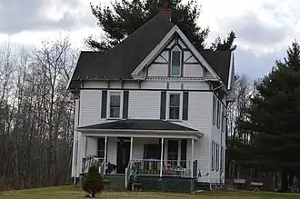
Crenshaw, Pennsylvania
Crenshaw, Pennsylvania | |
|---|---|
 | |
 Crenshaw  Crenshaw | |
| Coordinates: 41°14′55″N 78°45′15″W / 41.24861°N 78.75417°W | |
| Country | United States |
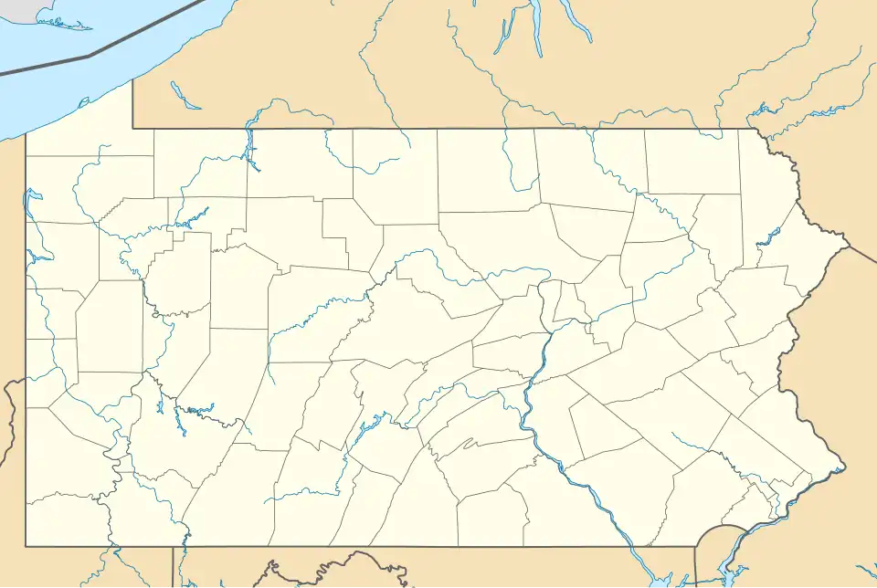
| State | Pennsylvania |
| County | Jefferson |
| Township | Snyder |
| Area | |
• Total | 1.12 sq mi (2.89 km2) |
| • Land | 1.09 sq mi (2.84 km2) |
| • Water | 0.02 sq mi (0.05 km2) |
| Elevation | 1,480 ft (450 m) |
| Population | |
• Total | 423 |
| • Density | 386.30/sq mi (149.11/km2) |
| Time zone | UTC-5 (Eastern (EST)) |
| • Summer (DST) | UTC-4 (EDT) |
| FIPS code | 42-17040 |
| GNIS feature ID | 2630002 |
Crenshaw is an unincorporated community and census-designated place in Snyder Township, Jefferson County in the U.S. state of Pennsylvania. It is approximately 2 miles (3 km) east of the borough of Brockway on U.S. Route 219. As of the 2010 census, the population was 468 residents.[3]
Demographics
| Census | Pop. | Note | %± |
|---|---|---|---|
| 2020 | 423 | — | |
| U.S. Decennial Census[4][2] | |||
History
The railroad was extended to Crenshaw around 1882.[5] A post office was established at Crenshaw in 1886, and remained in operation until 1967.[6]
References
- ^ "ArcGIS REST Services Directory". United States Census Bureau. Retrieved October 12, 2022.
- ^ a b "Census Population API". United States Census Bureau. Retrieved October 12, 2022.
- ^ "Geographic Identifiers: 2010 Census Summary File 1 (G001): Crenshaw CDP, Pennsylvania". American Factfinder. U.S. Census Bureau. Archived from the original on February 13, 2020. Retrieved November 8, 2018.
- ^ "Census of Population and Housing". Census.gov. Retrieved June 4, 2016.
- ^ McKnight, William James (1917). Historical. J.H. Beers. p. 105.
- ^ "Jefferson County". Jim Forte Postal History. Archived from the original on March 4, 2016. Retrieved December 2, 2015.
External links
Municipalities and communities of Jefferson County, Pennsylvania, United States | ||
|---|---|---|
| Boroughs | 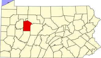 | |
| Townships | ||
| CDP | ||
| Other unincorporated communities |
| |
| Footnotes | ‡This populated place also has portions in an adjacent county or counties | |